On a birding trip to Costa Rica:
100 million years ago, during the time of the dinosaurs, North and South America were far apart and Costa Rica didn’t exist. Instead the oceans were connected by the Central American Seaway that flowed from the Pacific to the Atlantic.

The earth’s crust kept moving, as it still does today. The North American Plate drifted close to South America and two smaller tectonic plates smashed into each other at the site of Costa Rica (center of the diagram below). The Caribbean Plate still remains on top and the Cocos Plate continues to dive into the subduction zone.

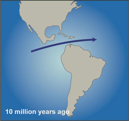
Subduction zones are geologically active places with earthquakes and volcanoes. They often create archipelagos like Japan, the Philippines, and Indonesia. Costa Rica began as a group of volcanic islands but the plates kept approaching and accrued land around them. Eventually a bridge formed at Panama 3 to 15 million years ago (the timing is disputed).
And then, three million years ago, mammals of all kinds began walking across the bridge from one continent to the other. Llamas walked out of North America into South America where they live today. Porcupines and armadillos walked north. The armadillos are still walking.
Today Costa Rica and Panama are narrow mountainous countries with enormous biodiversity for their size, not just because they’re in the tropics (where biodiversity is naturally high) but because they are the bridge, the mixing zone, where north meets south and both cross over.
Panama’s volcanoes are dormant but not so in Costa Rica. Recent ash eruptions from Turrialba Volcano, pictured above, closed San José’s airport in January.
Costa Rica started with volcanoes.
(image credits: Turrialba volcano and Central American plate tectonics from Wikimedia Commons; click on the images to see the originals. Map of North and South America approaching each other is linked from Woods Hole Oceanus Magazine, April 2004)
Day 9: Forest trails at Cerro de la Muerte, return to San José