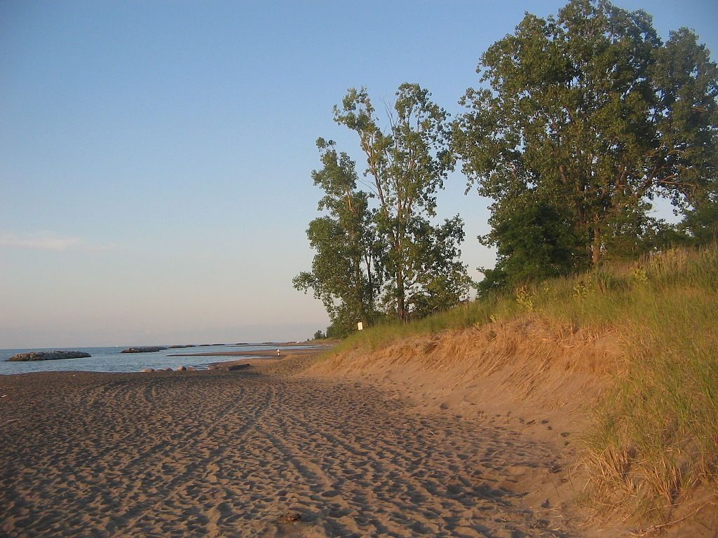
If you’re planning a Great Lakes beach vacation, here’s something to ponder. Your favorite beach wasn’t there 14,000 years ago.
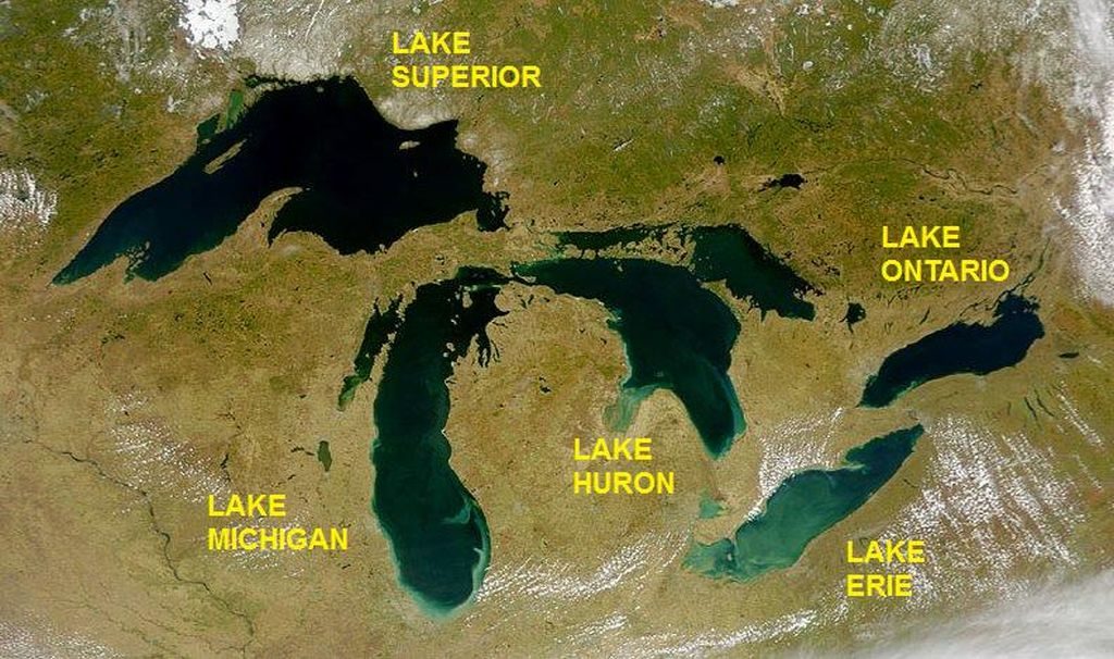
The Great Lakes formed as ice melted at the end of the last glacial period. They’re now the largest group of freshwater lakes on Earth and contain 21% of the world’s surface fresh water.

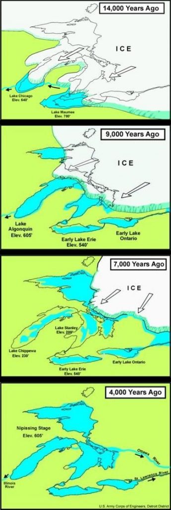
But 14,000 years ago most of them were under ice and the lakes that existed weren’t in the same place. The western part of Lake Erie was under Lake Maumee. The toe of Lake Michigan was covered by Lake Chicago. As the ice receded the Great lakes took on their present shape.
A lot has changed in the last 14,000 years. Browse the maps below to find your beach at the ancient Great Lakes.
(photo and maps from Wikimedia Commons; click on the captions to see the originals)
