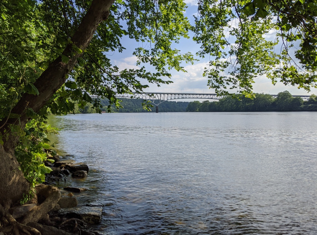
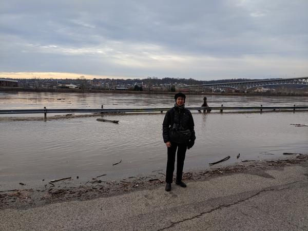
In this 8 August 2020 photo, the Monongahela River is full near the Homestead Grays Bridge, yet rainfall since June 1 is down 2-4 inches in the Monongahela watershed and the ground was bone dry at that time. This got me thinking … How could the river be full when we’re nearly in a drought? The abundance of water is deceiving.
Ever since Europeans arrived in western Pennsylvania they’ve worked to make our rivers more navigable. In the early 1800s these efforts barely made a dent, especially in late summer when the dry season turned the rivers into shallow pools and rivulets. The Lewis & Clark Expedition coped with this after they left Pittsburgh a month later than planned. Embarking on 31 August 1803 the Ohio was so low that the expedition had to push and drag their laden keelboat over many shoals. It took them a week to reach Wheeling. (read more here).
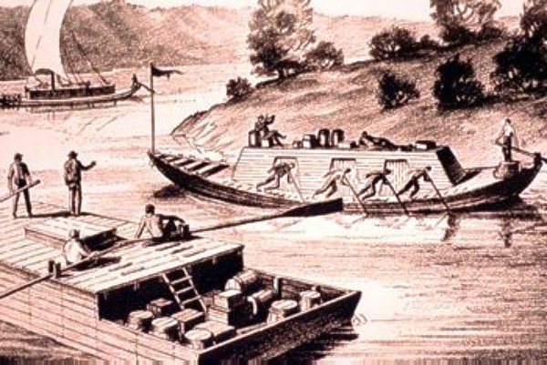
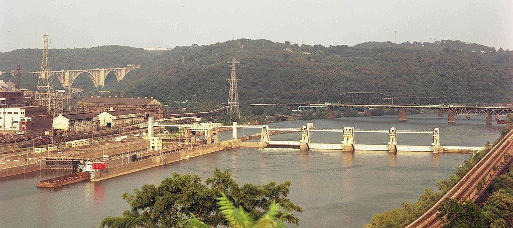
In 1824 Congress authorized the U.S. Army Corps of Engineers to get involved and the navigation improvements became permanent. By 1929 locks and dams had transformed all three rivers into chains of lakes. (read more at From Rivers to Lakes: Engineering Pittsburgh’s Three Rivers)
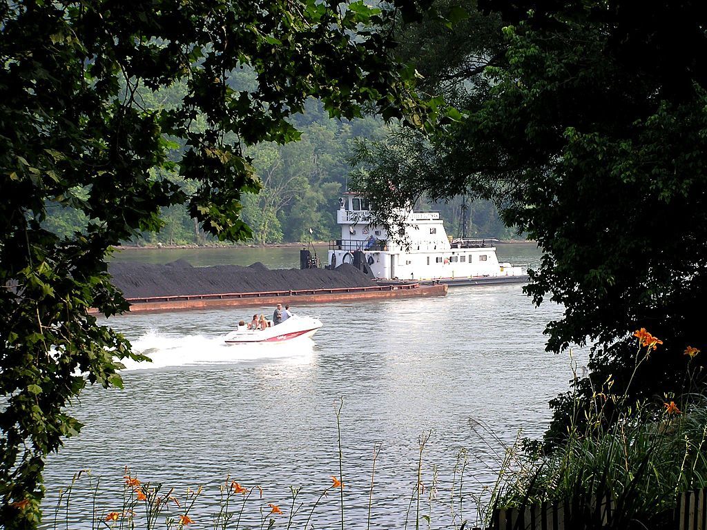
Because of the “lakes” we have lots of river traffic, making the Port of Pittsburgh the 15th largest port in the U.S. when measured in domestic trade. On the Mon River the trade seems to be mostly coal.
The river is full when rainfall is low because the water is controlled for navigation.
Oh well.
p.s. Some people say the dams are for flood control but the locks and dams don’t perform that service. As Rob Protz points out, the flood control dams are very different. (See the Conemaugh River Dam.) Even with those dams in place we still get floods, though perhaps less frequently.
good article. the Mon also runs from the south, where they have had more rain, maybe?
Nice piece, good links, thanks!
The dams on the main rivers are navigational only (except for Kinzua) on the Big A!
The floid control dams are the ones which create reservoirs on the tributaries, such as the Conemaugh Dam and Loyalhanna Dam near Saltsburg. Others on the Allegheny watershed are Crooked Creek, Mahoning, Clarion River (2), and Tionesta Creek. These dams and reservoirs hold rainfall back from entering the main rivers until it’s released when needed to keep the navigational channels open or to prevent downstream flooding from heavy rainfall in the watershed.
https://geology.com/lakes-rivers-water/pennsylvania.shtml