22 August 2021
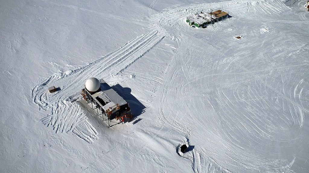
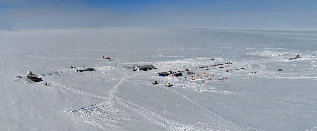
It rained on 14 August at Summit Camp Greenland for the first time since recording began.
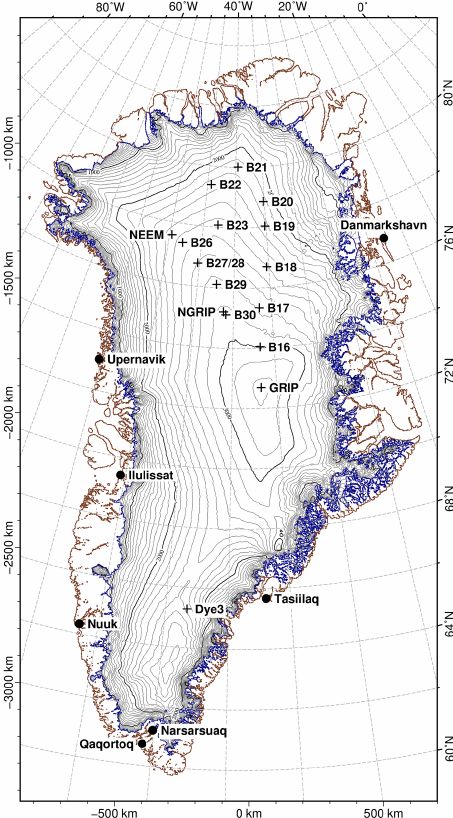
Summit Camp was built in 1989 at the highest point of the Greenland ice sheet, marked as “GRIP” on the map below. At 10,551 ft above sea level it is a barren, cold place with a daily mean temperature in the warmest month, July, of only 9oF. August is colder at 3oF.

To give you an idea of how cold it is, here’s a video from one of the warm years, Summer 2019.
The site is so rarely above freezing that you can count the number of times it’s happened in 2,000 years on your fingers. 6 before this century (ice cores) + 3 in the last decade (2012, 2019 and now 2021). This was the first time it rained.
“Half a degree of warming can really change the state of the Arctic because you can go from frozen to liquid,” said Dr. Tedesco of Columbia University. “This is exactly what we’re seeing.”
— New York Times: It Rained at the Summit of Greenland. That’s Never Happened Before.
Rain is a troubling sign that the Arctic is warming, making all the difference between solid ice that the station rests on and — ultimately — a lake.
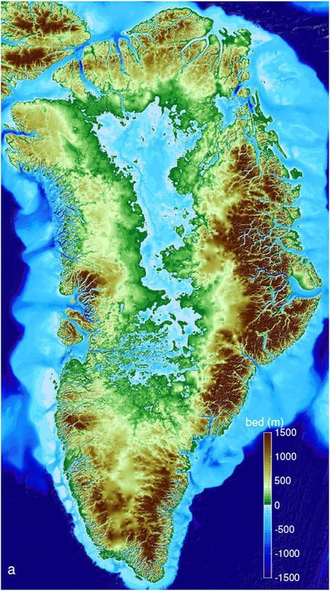
If all of Greenland melts to bedrock there will be mountains around the edge and a big lake in the middle. And the ocean will rise 20 feet, covering lowlands including South Florida.
Hello, Greenland. Good bye, South Florida. It’s bad news when it rains at the Summit.
(photos from Wikimedia Commons, video by danic373 on YouTube, ice sheet map from ResearchGate, bedrock map from NASA; click on the captions to see the originals)

