27 Sep 2021
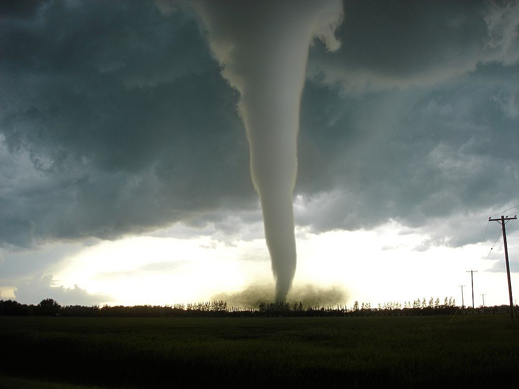
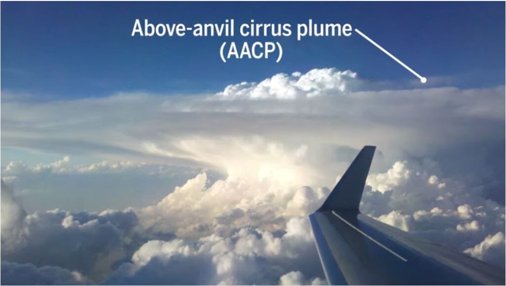
Tornado forecasting is better than it used to be but we always want earlier warnings and better accuracy. Now, thanks to computer modeling, “scientists have identified a key feature of big storms that could make such extreme weather events easier to predict.” The feature is a wispy cloud in the stratosphere called an above-anvil cirrus plume that is visible by satellite.
When most storms form they stay in the troposphere, the layer of the atmosphere where the majority of our planet’s weather takes place. But occasionally, they “punch up” into the stratosphere, creating mountains of clouds that trail wispy formations called above-anvil cirrus plumes (AACPs). These high-flying clouds have been linked to high winds, hailstorms, and tornadoes on the ground.
— Science Magazine: Supercell storms act like atmospheric mountains
These special clouds are on the downwind side of the supercell and are visible 10-30 minutes before the next stage in tornado formation.

Modeling indicates they form for the same reason as banner clouds on the leeward side of isolated mountains. Here’s an example at the Matterhorn.

See why violent storms are like mountains in stratosphere in the video below. Read more in Science Magazine.
p.s. Sometimes anvil clouds simply dissipate. That’s what happened to this cloud after sunrise in Pittsburgh on 18 September 2021.

(photos from Wikimedia Commons, Kate St. John, AACP screenshot from Science Magazine video)