7 December 2022
Sea level is rising overall about 3 millimeters (0.1 inches) per year due to climate change but Chesapeake Bay is rising even faster than the ocean — as much as 4.6 millimeters per year — because the area is still subsiding after the last Ice Age. Some Chesapeake Bay islands are disappearing.
NASA’s Landsat images of lower Chesapeake Bay from 1999 and 2019 show how much land has been lost in only 20 years. In 1999 there were white sand beaches on the island edges. By 2019 the beaches are gone and Great Fox Island in the center of the image has almost disappeared.
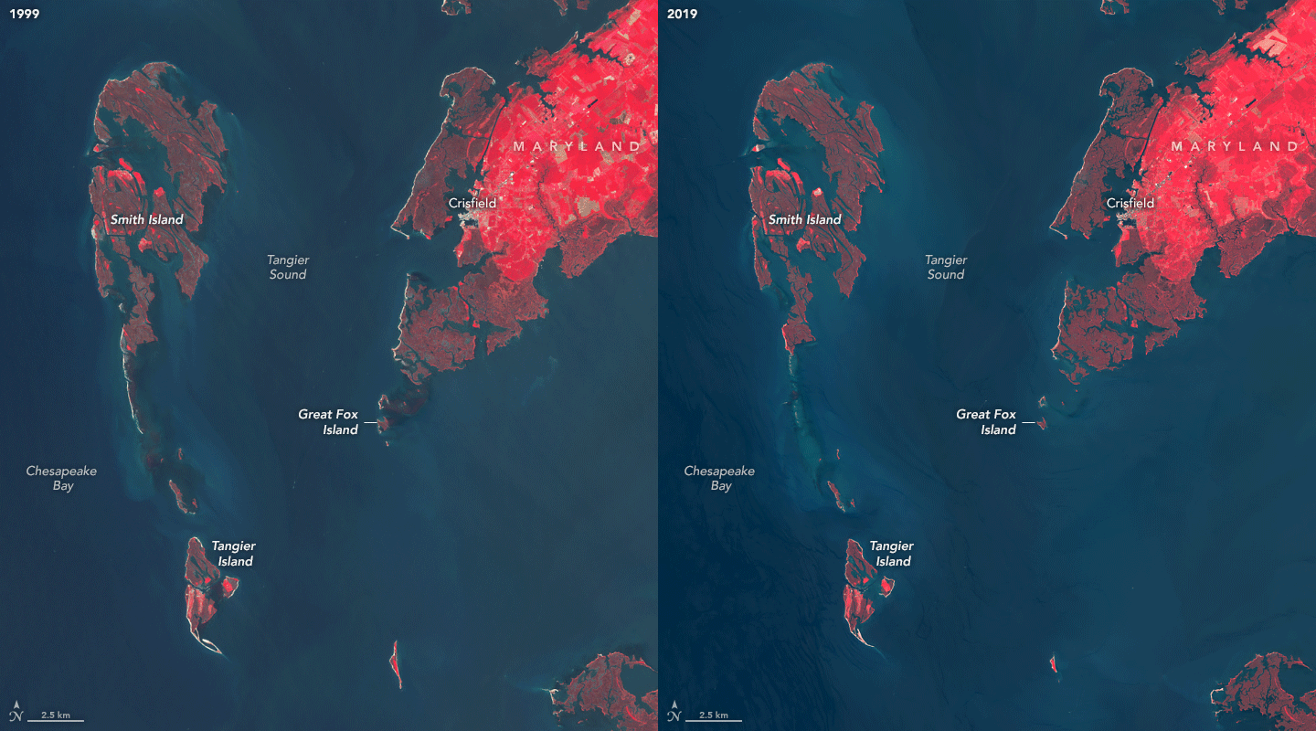
The Chesapeake Bay Foundation used to hold in-residence educational programs on Great Fox (also called Fox Island) but in October 2019, with only 34 island acres left, they declared the end of the program. You can see why in the video below.
Just across the Virginia line (at the bottom of the satellite images) is Tangier Island whose land mass has shrunk 67% since the 1850s. Its population shrank as well. By now Tangier has only 345 acres and a population of about 470.
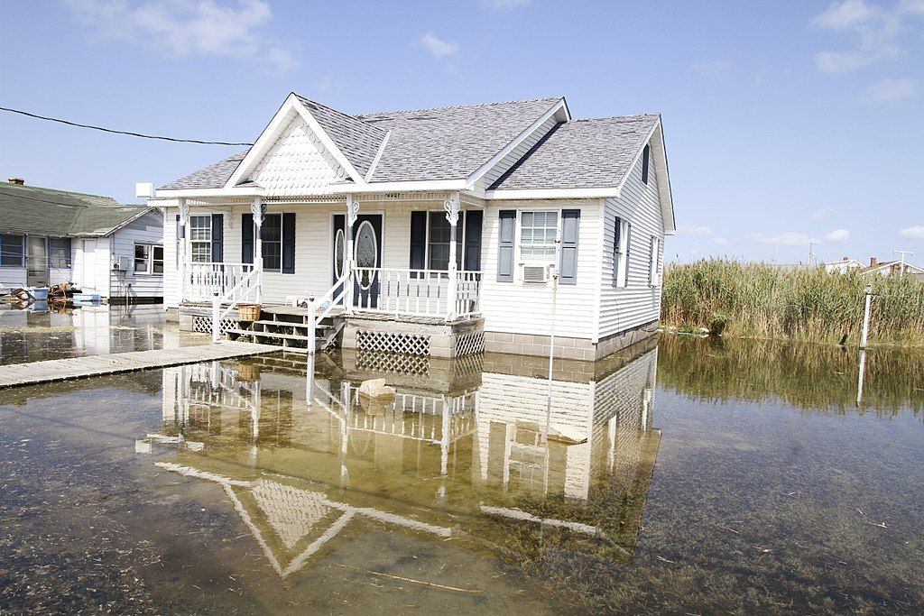
Residents are routinely flooded during the highest tides, pictured at top and below.
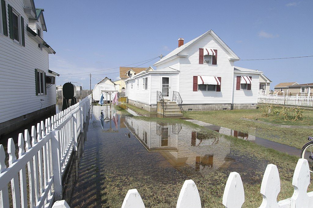
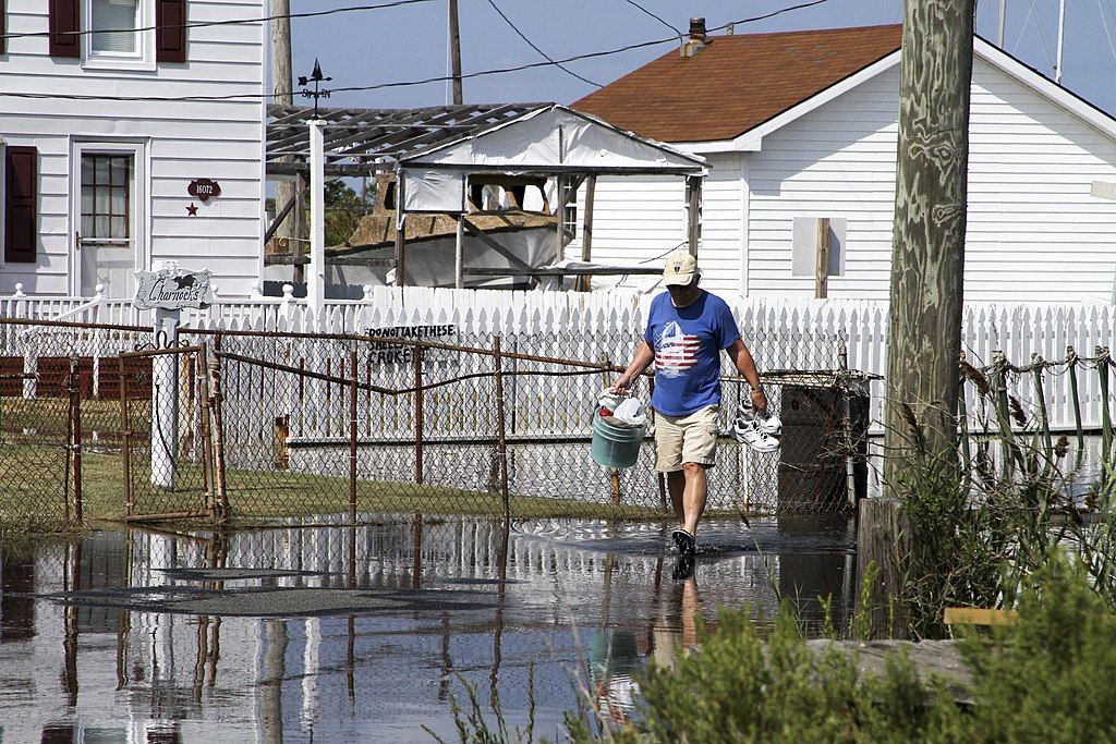
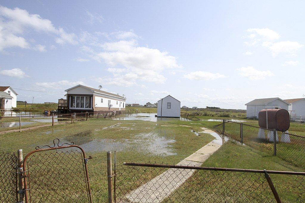
A 2015 analysis by the U.S. Army Corps of Engineers predicted that Tangier Island will become uninhabitable within 25-50 years, about mid-century.
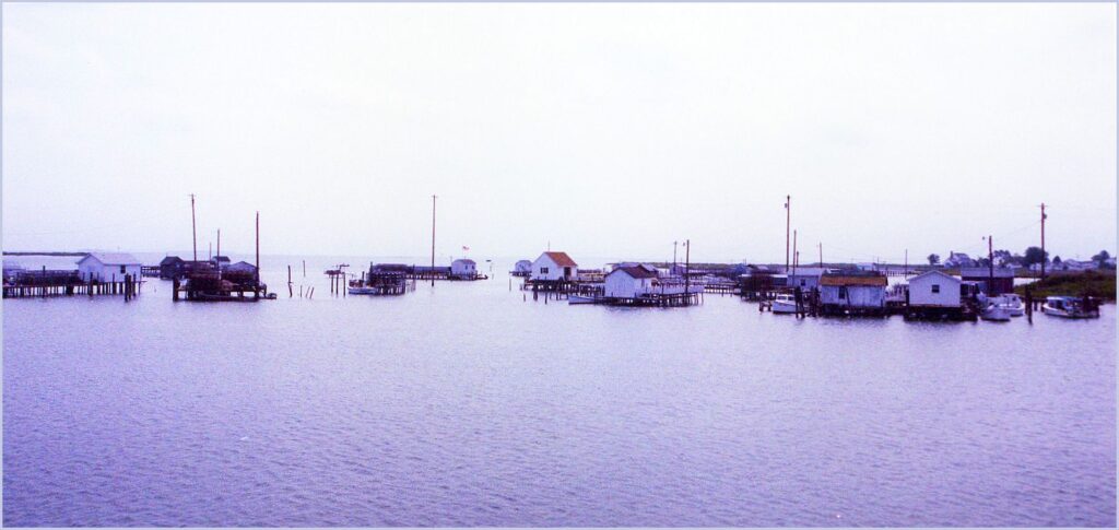
Tangier Island will eventually join Great Fox Island under the bay.
For more information see Great Fox is Disappearing at NASA’s Landsat Image Gallery, Wikipedia’s Tangier Island account and this April 2022 NBC News video about Tangier Island.
(photos from Wikimedia Commons and NASA Landsat Image Gallery; click on the captions to see the originals)