18 December 2022
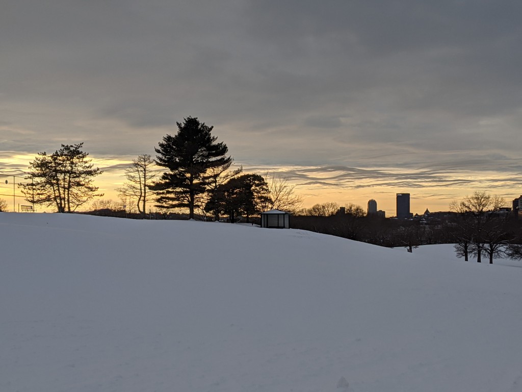
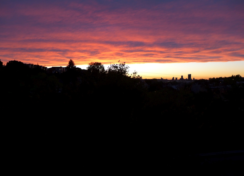
Often in winter Pittsburgh has overcast skies all day and clear skies at night. When the transition happens at sunset we see clear sky approaching from the west but it arrives too late for us to enjoy the sun. We have 10 minutes of sunshine and then it’s dark. I call this The Gleam At Sunset.
Why does this happen so often? Does Ohio have lovely weather all day that only reaches us at night?

Myranda Fullerton at the National Weather Service in Pittsburgh told me why. Her answers are paraphrased below.
Lake Effect Clouds
Pittsburgh is well known for overcast skies in winter but you may be surprised where the clouds come from.
Lake Erie plays an extensive role in our cloud cover and, as long as it isn’t frozen over during the winter, it serves as a local moisture source that plagues the region with clouds. … Most places have clear blue skies after a cold front passage, but when we have northerly flow off of the lake we have cloud cover.”
— Myranda Fullerton, NWS Pittsburgh, email paraphrased
Buffalo, New York has Lake Effect Snow. I like to think that Pittsburgh has “Lake Effect Clouds.”
Mixing and the Boundary Layer
When the air is well mixed (wind and/or rising warm air, falling cold air) it creates a defined line between the clouds and the rest of us below. In winter and early spring this mixing happens while the air is heated during the day.
During the winter and early spring, often times we observe a well-mixed boundary layer (we call this boundary layer coupling). When the atmosphere is coupled/mixed, the top of that mixing height is where we observe a cloud base [i.e. the bottom of the overcast deck]. You may even feel gusty wind during the day that supports the notion of a mixed atmosphere, when strong wind aloft is transported to the surface through this means.
— Myranda Fullerton, NWS Pittsburgh, email paraphrased
Stable Air is Clear
The cloud base remains well defined while the air is mixing. It falls apart when the mixing stops at sunset.
At night, wind gusts typically subside as the surface cools and the atmosphere becomes decoupled again in tandem with sunset / loss of daytime heating. At decoupling you may lose your mixing height and essentially dissolve your cloud cover.
— Myranda Fullerton, NWS Pittsburgh, email paraphrased
So Pittsburgh’s typical winter is: Overcast clouds during the day. Clouds breaking up at sunset for a Gleam at Sunset. Then clear skies at night.
Still puzzled by the boundary layer? Click here for a video that explains it. (The beginning of the video is pertinent. The end is an ad.)
(photos by Kate St. John)
With what frequency does the wind come from the north west? Maybe half the time, so this may account for that percentage.
Pittsburgh is the City of Cloud Cover.