2 April 2024
CORRECTION (3 APRIL at 7am): When I first published this article, I didn’t realize I was using outdated maps so my analysis was wrong. NOAA changed to their mapping tool on 28 March; the new tool is much better. Maps, links and the flood assessment have been corrected.
Today (2 April 2024) it will be warm in Pittsburgh (71°F) but very wet with severe thunderstorms, 2-3 inches of rain, and up to 4 inches in localized downpours. There’s a Flood Watch through this evening for rivers, creeks, streams, and flood-prone locations.
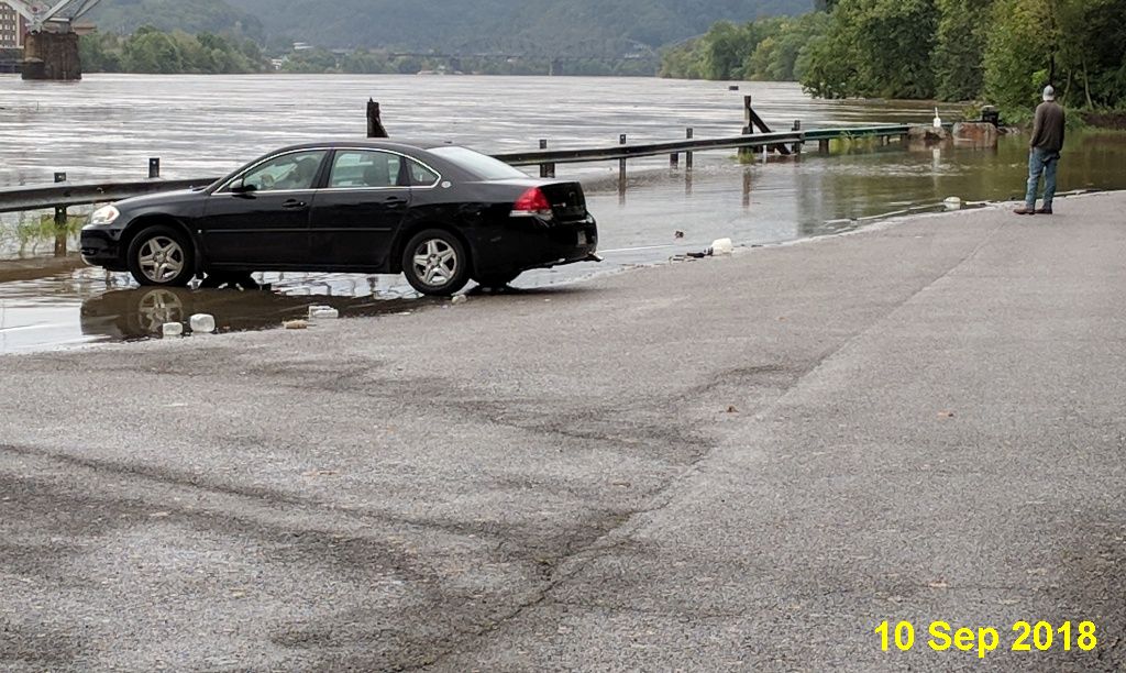
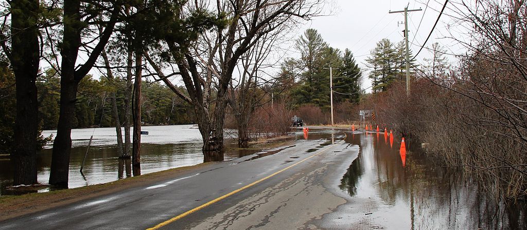
It is unlikely that the Monongahela River will flood as much as it did in 2018, above in September, below in February. But it will reach flood stage.
The river is expected to rapidly rise Wednesday (3 April) and crest at 26.7 feet early Thursday (4 April), just below the moderate flood stage. As of Wednesday morning, it was over 21 feet.
— Post Gazette, 3 April 2024

Our streams, creeks and low-lying roads will be in trouble. Water could rise suddenly. Watch out for flash floods on a road near you.

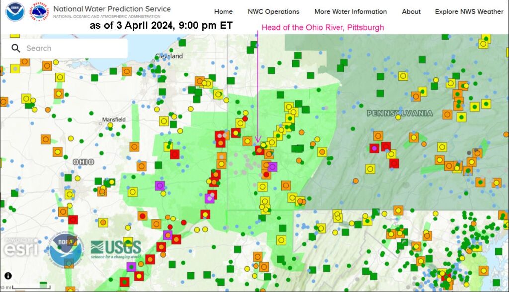
The National Water Prediction Service provides a dynamic water prediction map for the entire U.S. updated with current conditions (circles) and water level predictions (squares around the circle). The colors on the 4/3/2024 at 9:00pm map below mean:
- Purple = Major Flood
- Red = Moderate Flood
- Orange = Minor Flood
- Yellow = just below or nearly at Flood Stage
- Green = no flood
- tiny blue dots mean No Data

The map shows that the Youghiogheny River at Sutersville, PA is in Major Flood (purple) and so are several places in Ohio.
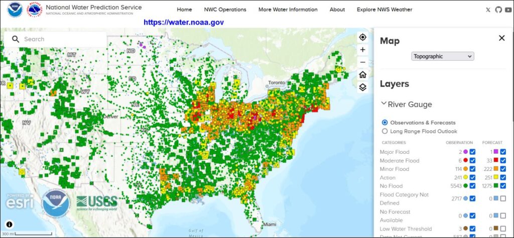
Click here to see the current National Water Prediction Map for Pittsburgh.
If you’re curious about flood conditions and forecasts throughout the U.S., visit water.noaa.gov.

I remember that photo of you. I can’t believe how high the river was!!