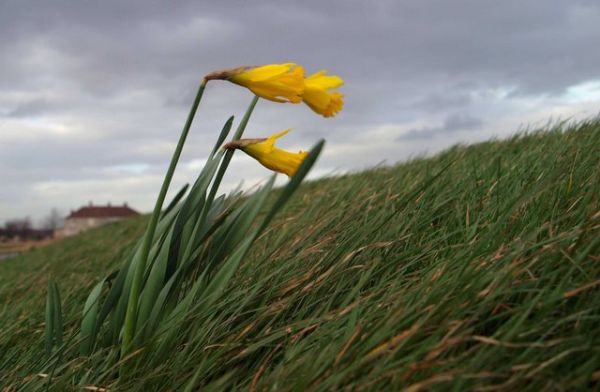
Today’s forecast in Pittsburgh calls for a rainy high of 53o followed by a strong cold front with winds gusting to 35 mph overnight. North and east of here the wind will be even gustier, up to 50 mph in Dubois and Johnstown.
So I wondered… What causes wind gusts? And what will cause them tonight?
Wind gusts are quick bursts and lulls of wind (we know this) lasting 20 seconds or less. The National Weather Service doesn’t even call it a gust until it reaches 18 mph and has a 10 mph difference between burst and lull. If the gust lasts a minute it’s called a squall. If it lasts longer than that it’s real wind, a gale or a hurricane.
Weather experts say gusts are caused by three things: turbulence from friction, wind shear and solar heating.
We can rule out solar heating today but I’ve seen it in summer when rising hot air is quickly replaced by cold air dropping to fill its place. In the desert the gusts are amazing.
Wind shear occurs at the unseen three dimensional boundaries where wind speed and direction change within a short distance. If the wind could hold colored dots wind shear would be an amazing visual effect, an edge where a slow wind moving one way meets a faster wind moving another direction. Aloft these gusts cause a bumpy airplane ride, but they’re dangerous near the ground where there’s no vertical distance to recover from the bump.
I don’t know if wind shear is a factor in tonight’s weather but I suspect not. It wasn’t mentioned at all.
On the other hand I’m sure turbulence from friction is involved. Today’s cold front is moving in very fast with 60 mph winds at 2000 feet. At higher elevations, such as the Laurel Highlands, the 60 mph wind is a lot closer to the ground. If even a fraction of it scrapes the earth the friction will cause gusts.
Turbulence is even greater near cliffs and buildings where the wind rushes faster through narrow openings, causing whirls and eddies that raise leaves and trash high into the sky. I experience this all the time at the Cathedral of Learning.
Tonight the peregrines won’t find it pleasant to roost up there, but they’re used to the wind. “Ho hum,” they say. “This wind is nothing.”
(photo by Steve F. from Wikimedia Commons. Click on the photo to see the original)
p.s. This blog post is about wind gusts but what is causing so much wind today? Read Rob Protz’ comment for an explanation.

The first importanct fact is that winds are generated by pressure gradients, and the forecast for high winds today is caused by a tight pressure gradient on the back side of the cold front coming in from the west.
This is visible on this image right now at
http://www.intellicast.com/National/Surface/Mixed.aspx
The isobars over Illinois and Wisconsin show the tight pressure gradient with the barometric pressure increasing from 1004 mB over Lake Michigan to 1024 mB over west central Iowa.
The upper air pattern map doesn’t show a spectacular gradient right now (although I thought it would). See: http://weather.unisys.com/upper_air/ua_500.gif
Rob