Category Archives: Climate Change

The Leaves Lingered

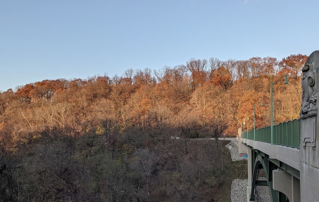
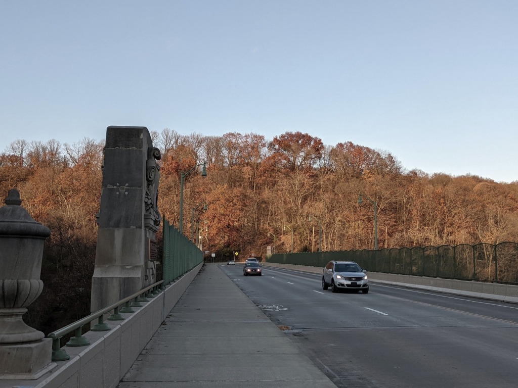
Though most trees are bare, the hilltop oaks still have leaves on 30 Nov 2021 (photo by Kate St. John)

4 December 2021

Last weekend many homeowners in Pennsylvania were annoyed that they had to rake leaves after Thanksgiving. A decade ago this would never have happened because the trees were bare by 5 November. Nowadays the leaves linger. Our warmer climate keeps them on the trees.

The delay in leaf drop has been increasing for at least a decade. In 2008-2012 most of the trees were bare by 2 or 4 November. In 2017-2021 the trees waited until 25-30 November. (*)

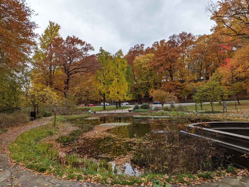
Meanwhile the height of fall color is later and lackluster. Twenty years ago we used to go leaf peeping on Columbus Day. This year the height of color in Schenley Park was on 13 November and not particularly breathtaking.

Fall color at Westinghouse Memorial in Schenley Park, 13 Nov 2021 (photo by Kate St. John)

Trees need a particular weather combination to trigger fall colors and leaf drop.

The timing and quality of color changes depend on a combination of temperatures, precipitation and sunlight. The best fall color displays occur after sunshine-filled days and cooler nights, following healthy doses of rain in the summer.

Washington Post: Fall foliage flopping: How climate change is dulling and delaying your leaf peeping

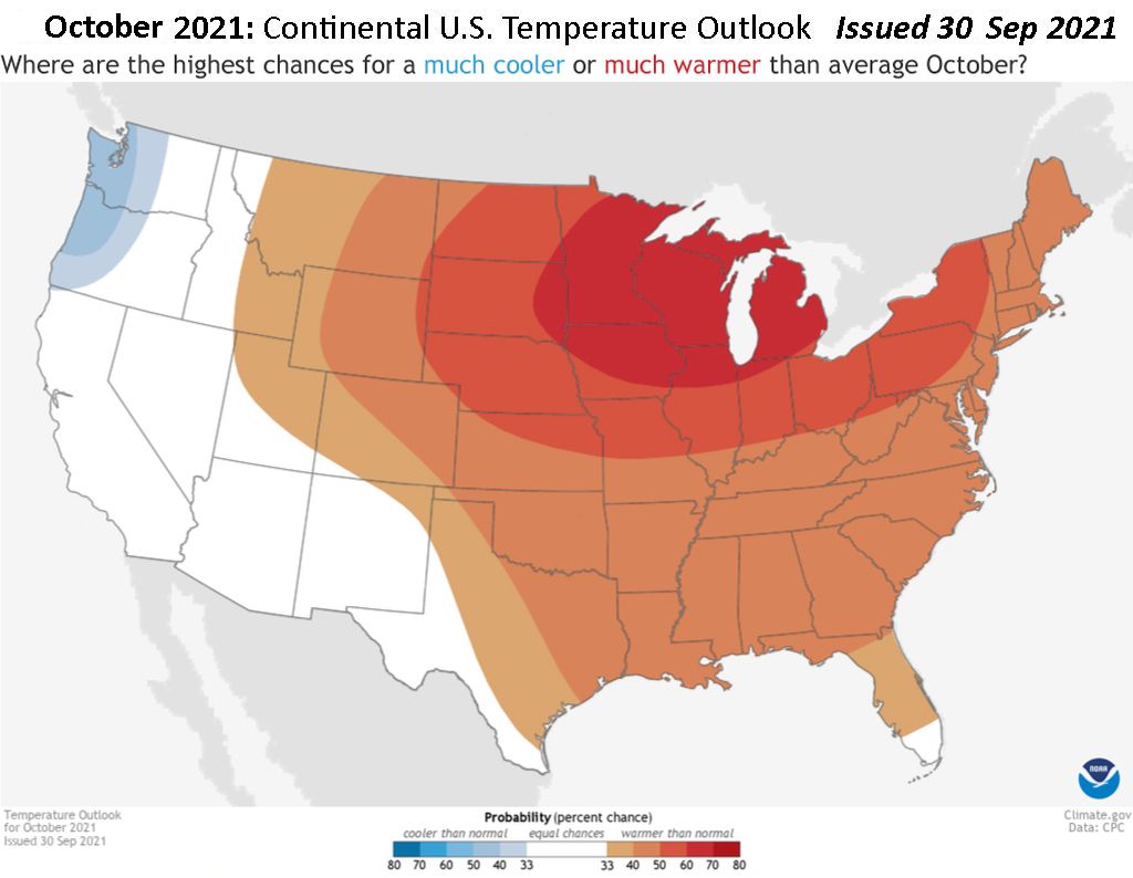
But it was way too warm in October. In fact it was the world’s fourth warmest on record.

U.S. Temperature Outlook for October 2021 issued 30 Sep 2021 by National Weather Service

The leaves lingered and finally by 30 November 2021 most of the trees were bare. Note that this date and all dates mentioned above are assessments of this same hillside in Schenley Park.

More than half of the trees are bare, Schenley Park, 25 Nov 2021 (photo by Kate St. John)

Read more about the disappointment of this fall’s foliage — and the economic impact — at the Washington Post: Fall foliage flopping: How climate change is dulling and delaying your leaf peeping.

(photos by Kate St. John, map from the National Weather Service)

First Killing Frost?

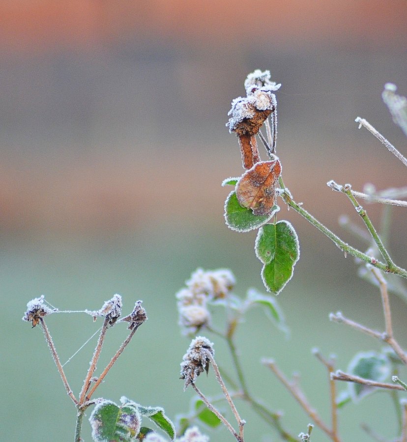
Frost (photo by It’s No Game via Flickr Creative Commons License)

4 November 2021

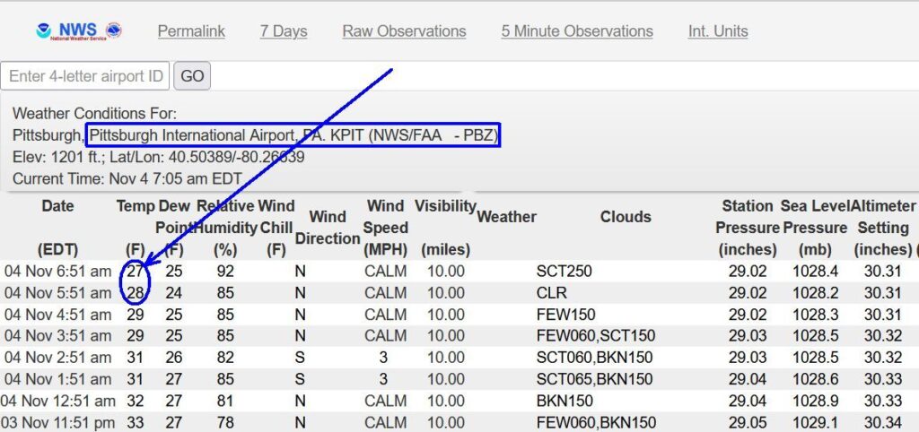
This morning Pittsburgh’s official temperature dipped to 28 degrees F at 5:51am at Pittsburgh International Airport(*) and 27 degrees an hour later. This is long enough and low enough(**) to be the first killing frost of the winter.

Weather Conditions for Pittsburgh International Airport, 4 Nov 2021 through 6:51am (image from NWS)

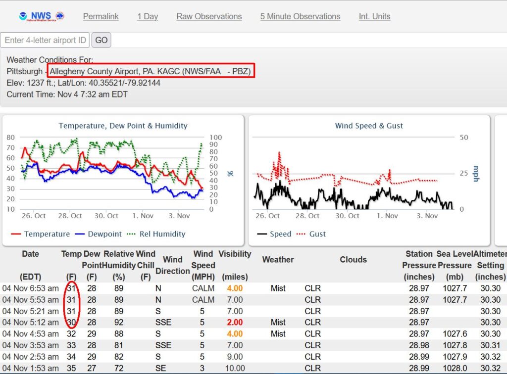
However, we still haven’t had a killing frost in some parts of Pittsburgh. Where I live in Oakland the low was only 31 and at the Allegheny County Airport in West Mifflin, 6.5 miles south of me, the temperature dropped briefly to 30, then rose to a steady 31.

Weather Conditions for Allegheny County Airport, 4 Nov 2021 through 6:53am (image from NWS)

Did we have a killing frost?

If you live in suburbs your garden died this morning. If you live in the city it may be fine except for very tender plants.

The City of Pittsburgh is usually 5 degrees warmer than the suburbs. That’s a big reason why crows come to town for the winter.

(photo of frost by It’s No Game via Flickr Creative Commons License, Pittsburgh weather data from NOAA.gov/zoa)

(*) Until the official data is published later today I assume that Pittsburgh International was the same temperature as Pittsburgh’s official weather station in Coraopolis, 2.88 miles away.

(**) 28 degrees F is generally considered the temperature of a killing frost and is certainly true for corn and soy farmers. Tender garden plants, such as impatiens, die just below freezing.

Do We Learn From Experience?

Flooding in Norristown, PA from remnants of Hurricane Ida, Sep 2021 (photo from Wikimedia Commons)

20 October 2021

From 100+ degree weather in the Pacific Northwest, to Hurricane Ida flooding in the Northeast and raging wildfires in the West, formerly safe places have become new danger zones. We are experiencing climate change but are we learning from it?

In Pennsylvania the increasing frequency and height of floods has come as a surprise. Climate change has boosted the risk from “one flood in 100 years” to 10 years or less. Despite this new calculation we still build and buy in major flood zones. Curious about your home’s flood risk? See the updated risk at FloodFactor.com.

Flooding in Conshohocken, PA from remnants of Hurricane Ida, Sep 2021 (photo from Wikimedia Commons) Schuylkill River is behind the blue building

Wildfires in the West are worsening as heat and drought increase. California’s 2020 North Complex Fire was one of the worst.

Fire on the north flank of the North Complex Fire, Sep 2020 (photo from Wikimedia Commons)

Spawned by lightning in August 2020, the North Complex Fire flared in September and forced towns to evacuate without warning. The fire killed 16, destroyed more than 2,300 structures, and plunged San Francisco into daytime darkness 150 miles away.

Darkness at noon in San Francisco due to smoke from the North Complex Fire 150 miles away, 9 Sep 2020 12:08pm (photo from Wikimedia Commons)

Even though the climate change risks are known we keep living in danger zones. Sometimes we can’t comprehend that it’s dangerous. Sometimes we cannot afford to leave. But that calculation is changing.

Yale Climate Connections explains how the cost of living in danger zones is about to rise significantly. Insurers have calculated the real cost and are raising rates or refusing insurance.

We may not learn from experience, but insurance companies do.

(photos from Wikimedia Commons of Hurricane Ida in Pennsylvania 2021 and North Complex Fire 2020; click on the captions to see the originals)

Non-Functional Grass?

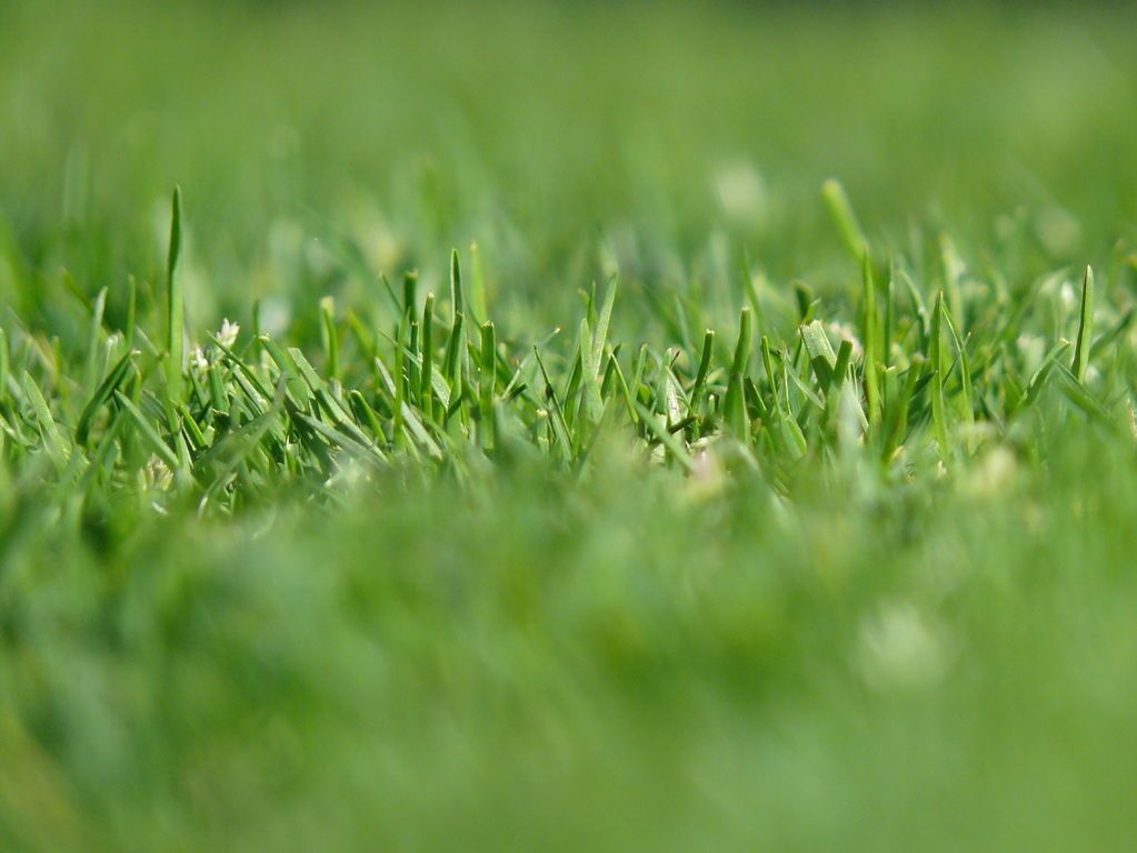
Closeup of a single-species lawn (photo from Wikimedia Commons)

24 August 2021

If you’re looking for a sign of the End Times, here’s one: Las Vegas, the city where seemingly anything and everything is condoned, has made grass — the ornamental kind — illegal.

Much of the West is experiencing the worst drought in decades, a “megadrought” that has kindled early wildfires and severe water shortages. … Enter aridification, exit grass. Gov. Steve Sisolak of Nevada just signed into law bill AB356, which requires the removal of all “nonfunctional turf” from the Las Vegas Valley by the year 2027.

New York Times, 11 June 2021: Where the Grass is Greener Except When It’s ‘Nonfunctional Turf’

The law was prompted by a crisis in June when Lake Mead, which supplies 90% of the Las Vegas Valley’s water, fell to the critically low point that triggers federally mandated water cuts. (See photos here.) Nevada knew it was coming and was ready with an easy way to save water — they banned non-functional grass.

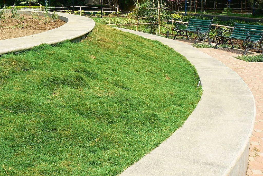
In Pittsburgh where it rains regularly and sometimes too much we don’t have the term “non-functional grass,” but like the rest of America we have plenty of grass that no one walks on in office parks, street medians, parking lots, and even front yards. For example, here is the ultimate in non-functional grass (not in Pittsburgh; photo from Wikimedia Commons).

Non-functional grass around a concrete planter (photo from Wikimedia Commons)

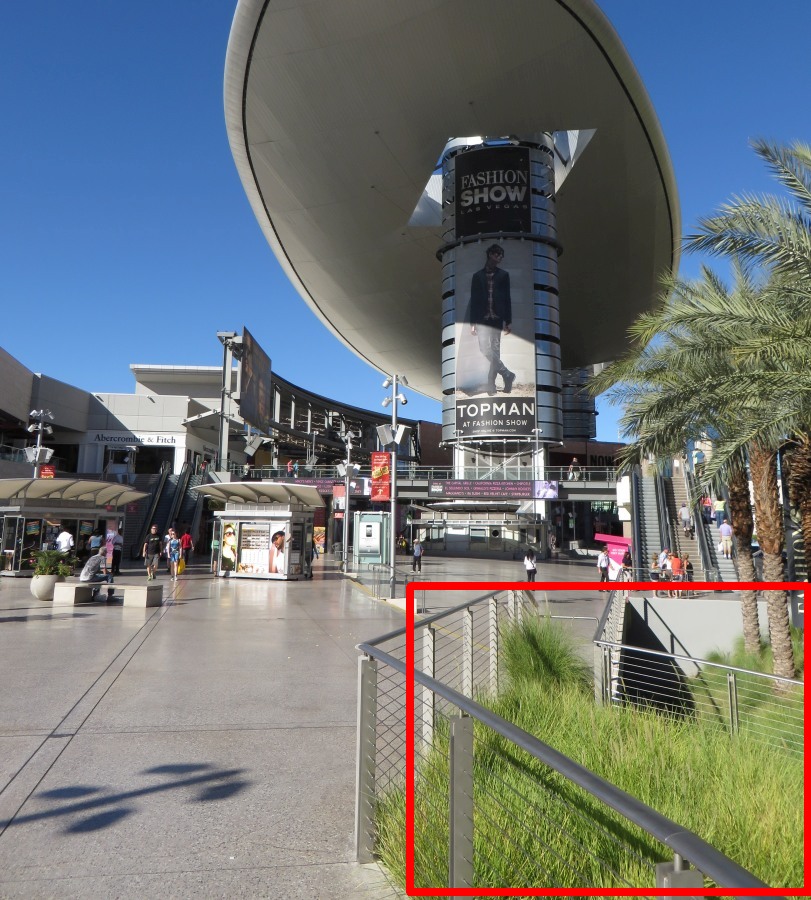
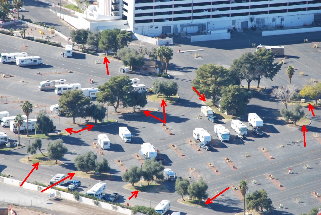
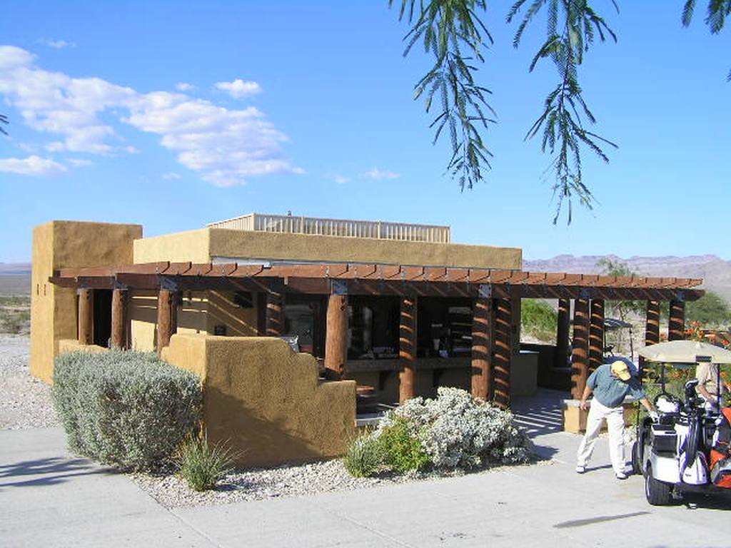
… and some examples in Las Vegas. These photos were taken 7 to 13 years ago so the sites may have changed considerably.

Non-functional grass at Royal Links Golf Course parking lot, 2009 (photo by Dan Perry via Flickr Creative Commons license)
Non-functional grass in Circus Circus KOA parking lot, 2008 (photo by Marco Metzler via Flickr Creative Commons license)

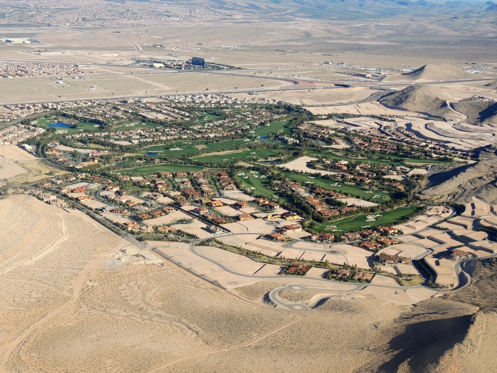
In Las Vegas all turf has to be irrigated and 31% of it is non functional. Golf courses, parks and single-family backyards are allowed because their grass is used. The big green swatch, below, will be irrigated. Even so, the non-functional turf ban will save 10% of the water supply.

Aerial view of Las Vegas area near South Highlands Golf Club, 2014 (photo by Jim Mullhaupt via Flickr Creative Commons license)

So what will fill the gaps when the grass is gone?

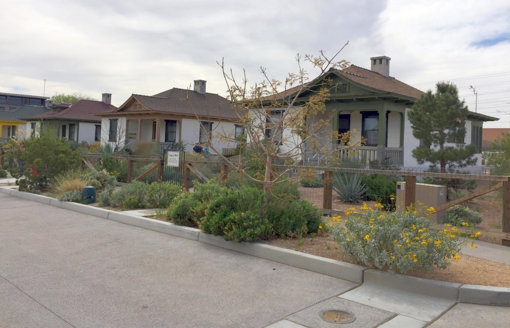
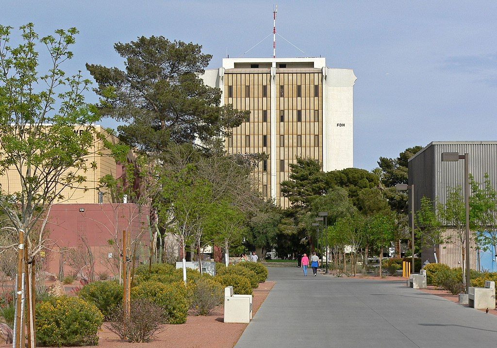
Many places in Las Vegas have already solved the problem with xeric (desert) landscaping or “xeriscaping.” Again, these photos are 7 to 15 years old so the sites may look different now.

Xeric landscaping at Paiute Golf Resort, 2006 (photo by Dan Perry via Flickr Creative Commons license)
Desert landscaping at Railroad Cottages, Springs Preserve Las Vegas, 2018 (photo by Rosa Say via Flickr Creative Commons license)
Desert landscaping at UNLV near Flora Dunhan Humanities building, 2006 (photo from Wikimedia Commons)

In Pittsburgh we have so much water that we never think about useless grass. Sometimes we irrigate it. Sometimes the sprinklers run in the rain! Bob Donnan has tips for watering in southwestern Pennsylvania to avoid fungus in your grass or garden.

Meanwhile, for those of us who hate to cut, weed, and fertilize grass in the rainy eastern U.S. a ban on non-functional grass would a blessing in disguise.

Click here to learn more about xeriscaping.

(photos from Wikimedia Commons and Flickr Creative Commons licenses; click on the captions to see the originals)

First Ever Rain at the Summit

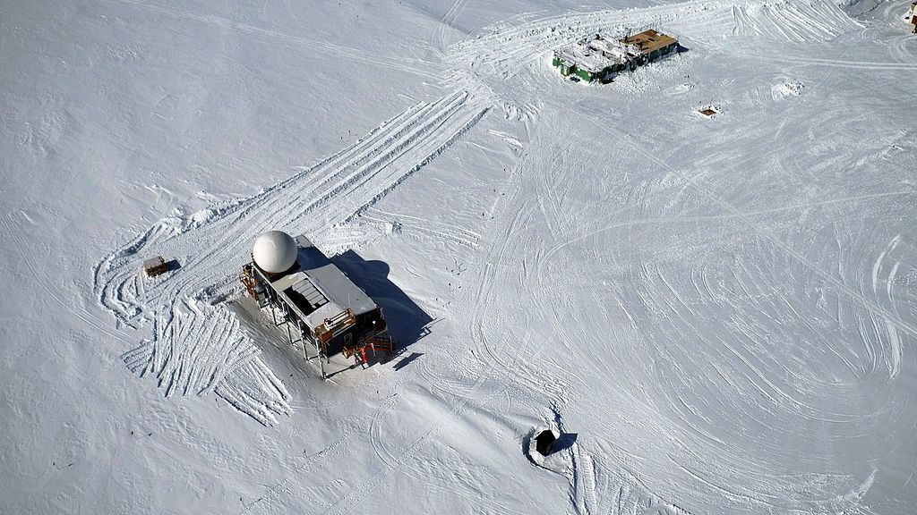
Big House and Green House at Summit Camp, Greenland (photo from Wikimedia Commons)

22 August 2021

It rained on 14 August at Summit Camp Greenland for the first time since recording began.

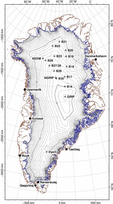
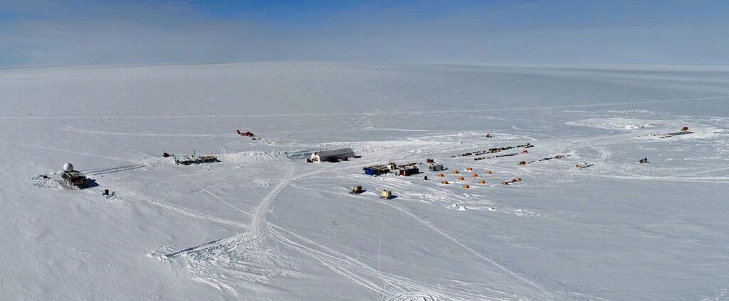
Summit Camp was built in 1989 at the highest point of the Greenland ice sheet, marked as “GRIP” on the map below. At 10,551 ft above sea level it is a barren, cold place with a daily mean temperature in the warmest month, July, of only 9oF. August is colder at 3oF.

Summit Camp, Greenland from the air (photo from Wikimedia Commons)

To give you an idea of how cold it is, here’s a video from one of the warm years, Summer 2019.

The site is so rarely above freezing that you can count the number of times it’s happened in 2,000 years on your fingers. 6 before this century (ice cores) + 3 in the last decade (2012, 2019 and now 2021). This was the first time it rained.

“Half a degree of warming can really change the state of the Arctic because you can go from frozen to liquid,” said Dr. Tedesco of Columbia University. “This is exactly what we’re seeing.”

New York Times: It Rained at the Summit of Greenland. That’s Never Happened Before.

Rain is a troubling sign that the Arctic is warming, making all the difference between solid ice that the station rests on and — ultimately — a lake.

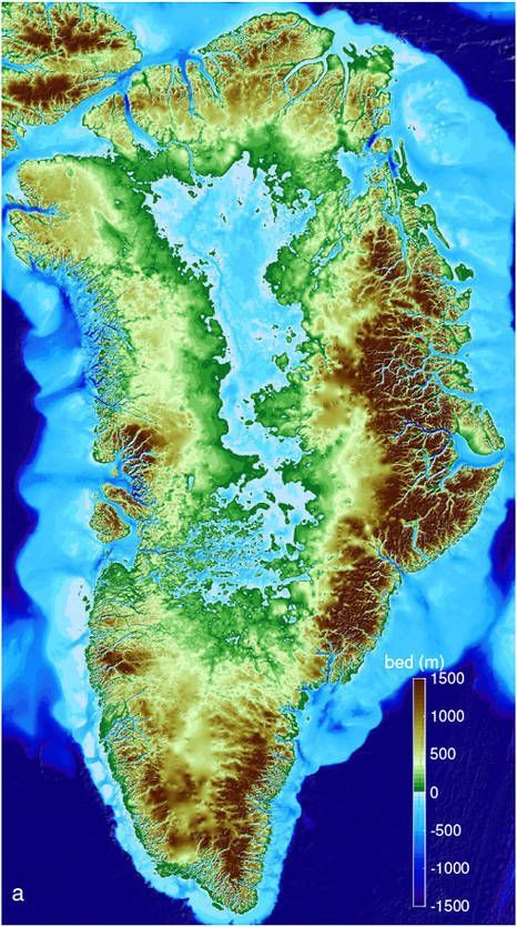
If all of Greenland melts to bedrock there will be mountains around the edge and a big lake in the middle. And the ocean will rise 20 feet, covering lowlands including South Florida.

Hello, Greenland. Good bye, South Florida. It’s bad news when it rains at the Summit.

(photos from Wikimedia Commons, video by danic373 on YouTube, ice sheet map from ResearchGate, bedrock map from NASA; click on the captions to see the originals)

What About That Lightning?

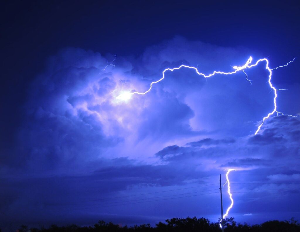
Lightning in Dallas, 2015 (photo from NOAA Weather in Focus Photo Contest via Wikimedia Commons)

19 August 2021

Curious about lightning? Today’s article is a scavenger hunt for lightning facts. Two vintage blog posts provide the answers.

Looking Forward to a Little Less Lightning (click the link) will tell you …

  • Which month produces the most lightning in Pittsburgh?
  • If a person is struck by lightning what’s their percentage change of surviving it?
  • Who holds the world record for being struck by lightning? How many times was he hit? Did it eventually kill him? And a much longer story about him here.

In Why Does Thunder Rumble? you’ll find out:

  • How long is a lightning bolt?
  • How far away is that lightning? Plus an easy technique for answering this question.
  • (And of course) Why does thunder rumble?

And a bonus! Here’s a 10 minute video of lightning in slow motion recorded in Singapore by The Slow Mo Guys. (I’ve skipped the video forward to just before the lightning starts.)

(photo from Wikimedia Commons; click on the caption to see the original)

Blooming This Week in July

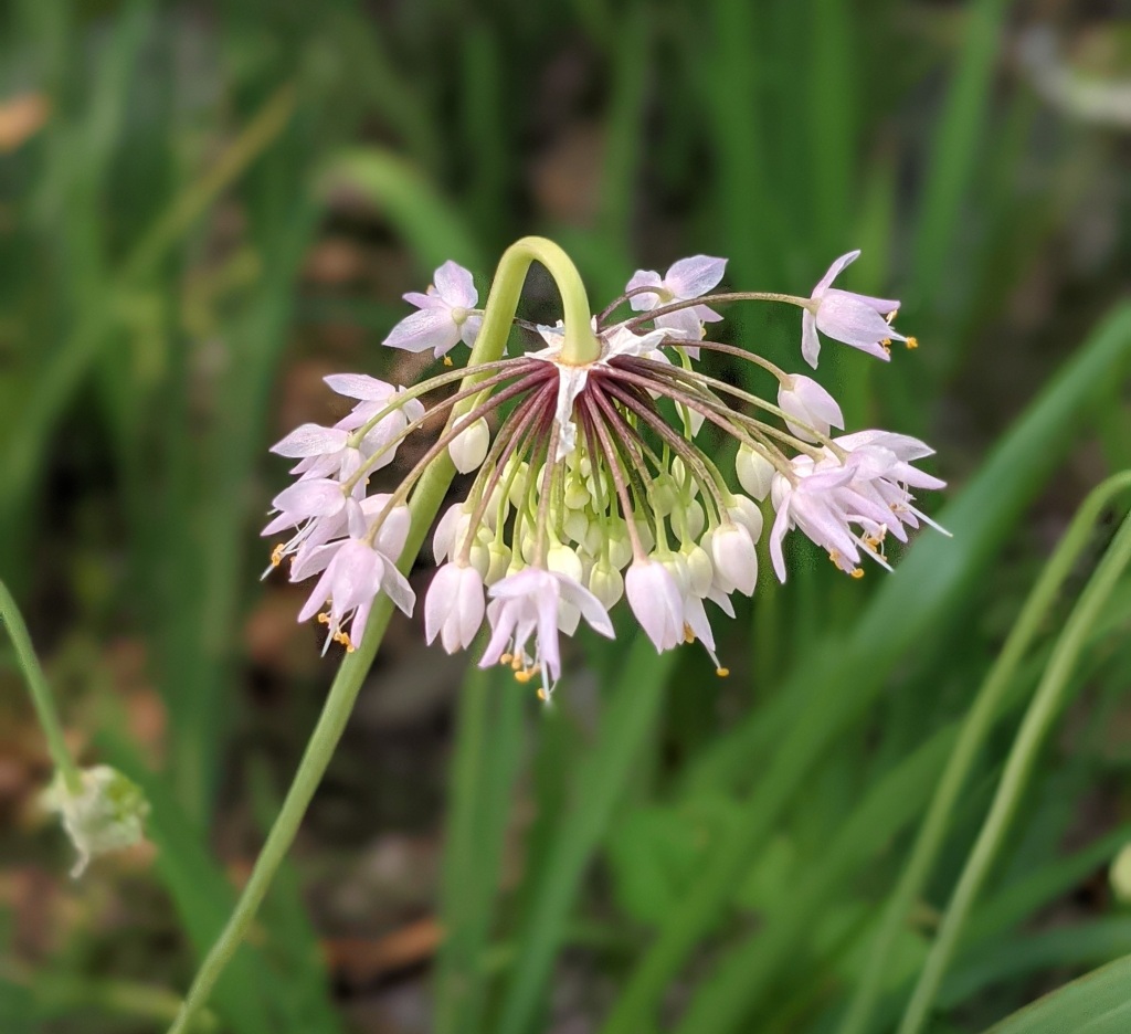
Nodding onion (Allium cernuum) at Phipps fence, 19 July 2021 (photo by Kate St. John)

24 July 2021

The weather came out of the northwest bringing cooler temperatures on Tuesday and Wednesday and smoke from the Canadian wildfires more than 1,000 miles away. Even when the air quality was bad this week I went outdoors. Perhaps I was fooled that it was OK since it didn’t have that sulfur smell typical of Pittsburgh pollution.

This week I went further afield than Schenley Park. Here are highlights from Frick, Schenley, Aspinwall Riverfront Park and Moraine State Park. The captions tell the story.

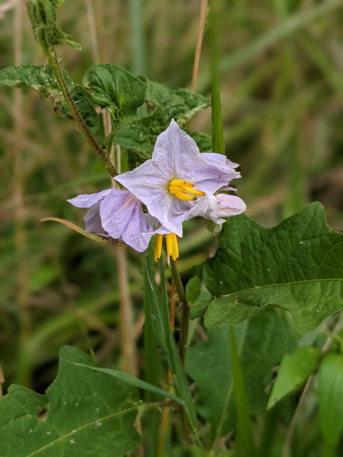
Horse nettle (Solanum carolinense), Frick Park, 20 July 2021 (photo by Kate St. John)
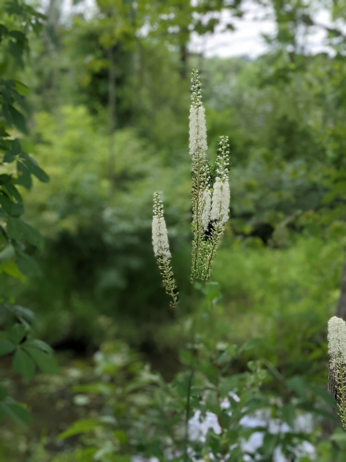
Black Snakeroot (Actaea racemosa or Cimicifuga racimosa) at Moraine State Park, 22 July 2021 (photo by Kate St. John)

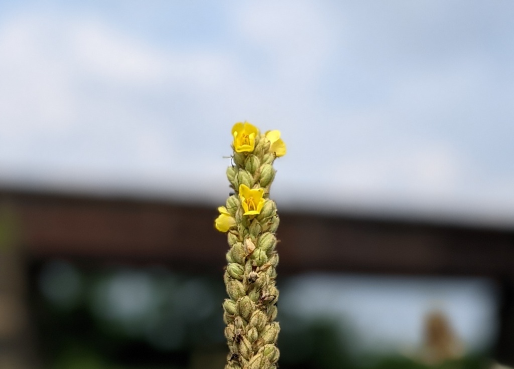
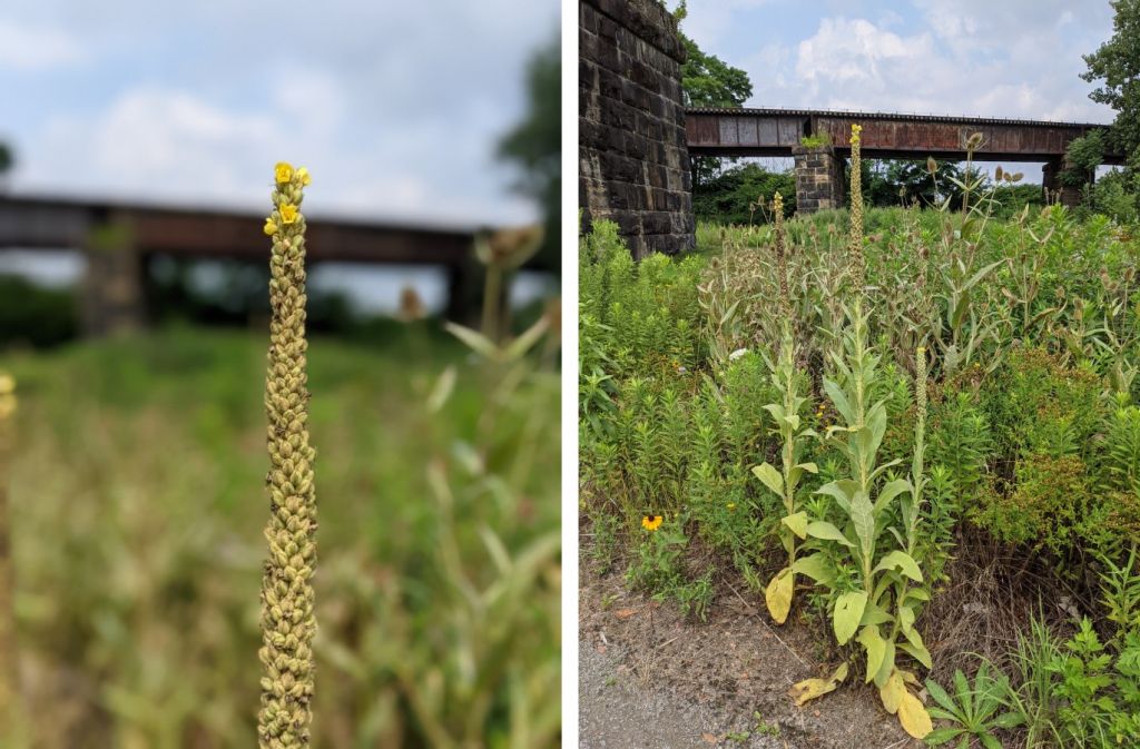
Common mullein (Verbascum thapsus) has small flowers that we rarely see up close because they bloom on a six foot spike.

Common mullein inflorescence, Aspinwall Riverfront Park, 21 July 2021 (photo by Kate St. John)

We definitely notice the spike. And then the rest of the plant.

Common mullein, Aspinwall Riverfront Park, 21 July 2021 (photo by Kate St. John)

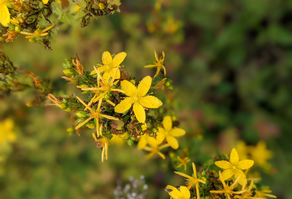
Meanwhile, my namesake plant is still blooming. This one was at Moraine State Park.

St. John’s wort (Hypericum sp.), Moraine State Park, 22 July 2021 (photo by Kate St. John)

(photos by Kate St. John)

Future Summers Will Last Half The Year

Hot summer sun (photo from Wikimedia Commons)

20 July 2021

Withering heat, parching drought, devastating floods, dangerous wildfires.

As unpleasant as this summer has been in the Northern Hemisphere we comfort ourselves that better weather will arrive with autumn in September. But even that is changing. A new study published in Geophysical Research Letters predicts that by the end of this century winter, spring and fall will retreat while summer will last nearly half the year.

For perspective on the future the researchers studied the past across the Northern Hemisphere, specifically the length of seasons from 1952 to 2011. They set the parameters for summer as the “onset of temperatures in the hottest 25% during that time period, while winter began with temperatures in the coldest 25%.” Spring and fall filled the gaps.

During those sixty years, summers got longer while the other seasons shrank. The slides below show the historical seasons 1952 and 2011 plus the study’s prediction for the year 2100. By then summer will run from May to October.

Average seasonal lengths in Northern Hemisphere, information from Phys.org

For those of you who don’t like winter this sounds like a great idea but the reality will be unsettling. The long summers and short winters will continue to have extreme temperature and precipitation swings with stunning storms like those we’ve seen in recent years. Imagine the heat of July lasting three months or more.

Meanwhile pleasant days will become scarce. My favorite seasons, spring and fall, will be shorter.

Our great-grandchildren will live in a very different world.

Read more and see the large version of this animation at Northern hemisphere summers may last nearly half the year by 2100 at Phys.org.

(photo from Wikimedia Commons, simple pie charts by Kate St. John, embedded animation from Phys.org)

Going Dry

Lake Mead bathtub ring, Feb 2017 (photo by Karen on Flickr Creative Commons license)

15 July 2021

This month a curious discovery in 2014 that predicted low water in the Colorado River and Lake Mead has come to alarming fruition. Lake Mead is going dry.

Lake Mead and Hoover Dam aerial view, May 2013 (photo from Wikimedia Commons)

The 20 year drought in the U.S. West is now severe, shown on the U.S. Drought Monitor map below.

Drought Monitor as of 8 July 2021 (image from U.S. Drought monitor, unl.edu)

Consequently the Colorado River is running very low and Lake Mead reached a crisis point last month. The Guardian reports:

In June [2021], the level of Lake Mead plunged below 1,075ft, a point that will trigger, for the first time, federally mandated cuts in water allocations next year. …

Should second tier cuts occur, Arizona will lose nearly a fifth of the water it gets from the Colorado River. Nevada’s first-round cut of 21,000 acre-ft (an acre-ft is an acre of water, one foot deep) is smaller, but its share is already diminutive due to an archaic allotment drawn up a century ago when the state was sparsely populated.

The Guardian: Severe drought threatens hoover dam reservoir and water for us west

The crisis is due to lack of precipitation but we learned in 2014 that loss of rain and snow is dwarfed by the depletion of groundwater.

Using nine years of NASA’s GRACE satellite data from the Colorado River Basin, UC Irvine and NASA scientists made an alarming discovery.  From December 2004 to November 2013 the watershed lost 53 million acre-feet of water, an amount almost twice the size of Lake Mead.  More than 75% of that loss was from groundwater.  No one knows how much water is underground but it’s going fast.

Outside My Window: Even Less Water Than We Thought

It’s a little spooky to see such a recent discovery come to pass so soon. Learn about the discovery in this vintage blog: Even Less Water Than We Thought.

Read about the current situation at: Severe Drought Threatens Hoover Dam Reservoir — and Water for U.S. West.

(photos from Wikimedia Commons, drought map from US Drought Monitor; click on the captions to see the originals)

Flash Floods Every Day

Flash floods on Nine Mile Run last week left flood debris up to my ears! (photo by Kate St. John taken on 10 July 2021)

11 July 2021

Southwestern Pennsylvania has always been prone to flash floods but last week was exceptional with a flash flood every day, three days in a row.

At 3pm on Wednesday 7 Jul 2021 a heavy downpour in the Nine Mile Run watershed caused a flash flood recorded by Upstream Pittsburgh‘s stream cam (video below, blurry because it’s raining). The downpour was so localized to the East End that it did not register on Pittsburgh’s official weather gauges. Flood debris showed that if I’d been on the Nine Mile Run Trail the water would have been up to my ears! (photo at top taken at 40.4263341,-79.9068387).

07 July 2021 Storm Timelapse at Nine Mile Run from Aaron Birdy on Vimeo.

On Thursday 8 July at 7pm a downpour over Pleasant Hills had devastating results as reported by CBS Pittsburgh.

video from CBS Pittsburgh on YouTube

And on Friday 9 July another localized thunderstorm let loose for half an hour in Squirrel Hill. I have no photos because I was driving down Braddock Avenue in the downpour, hoping the river on the road would not become a car-swallowing lake under the Parkway bridge. Fortunately the water ran off into Nine Mile Run. Another flash flood. I’m glad I was not on the trail.

As crazy as this is, it should not be a surprise. Pittsburgh is prone to flash floods, especially in Allegheny County as shown in the 35-year map of Flash Flood Reports from the National Weather Service.

Number of flash floods in 35 years by county, 1986-2020, in NWS Pittsburgh forecast area (image from NWS Pittsburgh)

We don’t need a particularly wet year for this to happen. Pittsburgh’s 2021 rainfall is actually 0.93 inches below normal as of today. The problem is that the rain falls all at once, especially in June and July.

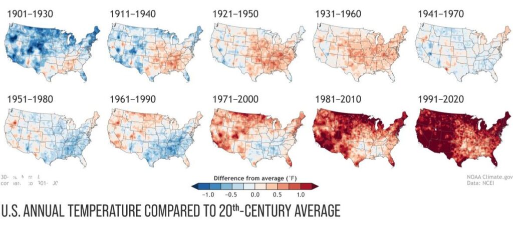
Climate change is making the problem worse. A 2019 study found that extreme precipitation has increased 55% in the Northeastern US in my lifetime.

Heavy rain has increased across most of the United States, 1986-2016 (map from climate.gov)

This trend will continue in southwestern PA through the 21st century. (Click here to see where frequent heavy downpours will increase in the U.S.)

Brace yourself, Pittsburgh, for a lot of flash floods in the future. Sometimes every day.

About Nine Mile Run per Upstream Pgh (formerly Nine Mile Run Watershed Association): “Nine Mile Run is a small stream that flows through Pittsburgh’s East End, mostly underground. The 7 square mile Nine Mile Run watershed is home to the largest urban stream restoration in the United States, completed by the U.S. Army Corps of Engineers in 2006.” Upstream Pgh got its start with this project and now works throughout the region on community-oriented stormwater management projects, large and small, plus much more. Click here for their website.

p.s. If you’re not from the area you might not realize that “Pgh” is an abbreviation for Pittsburgh. We’re the only Pittsburgh with an “h.”

(photo by Kate St. John, videos from Upstream Pittsburgh and CBS Pittsburgh, maps from NWS Pittsburgh an climate.gov; click on the captions to see the originals)