7 October 2024
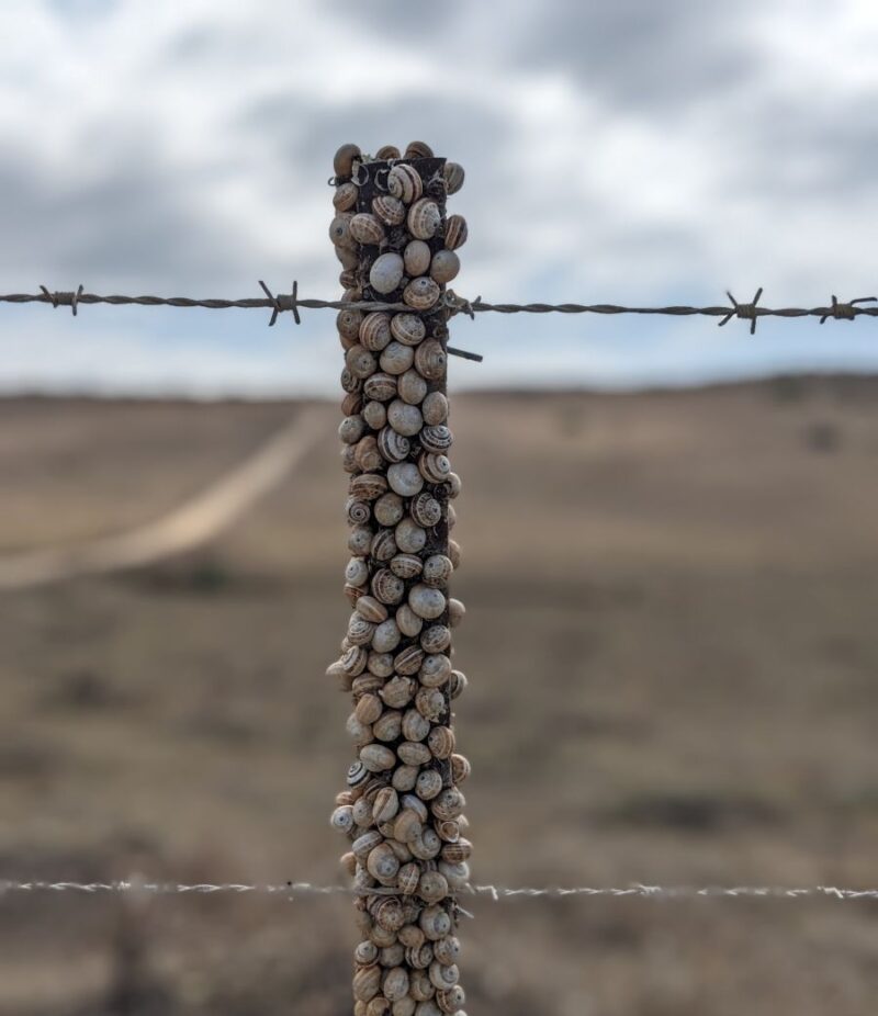
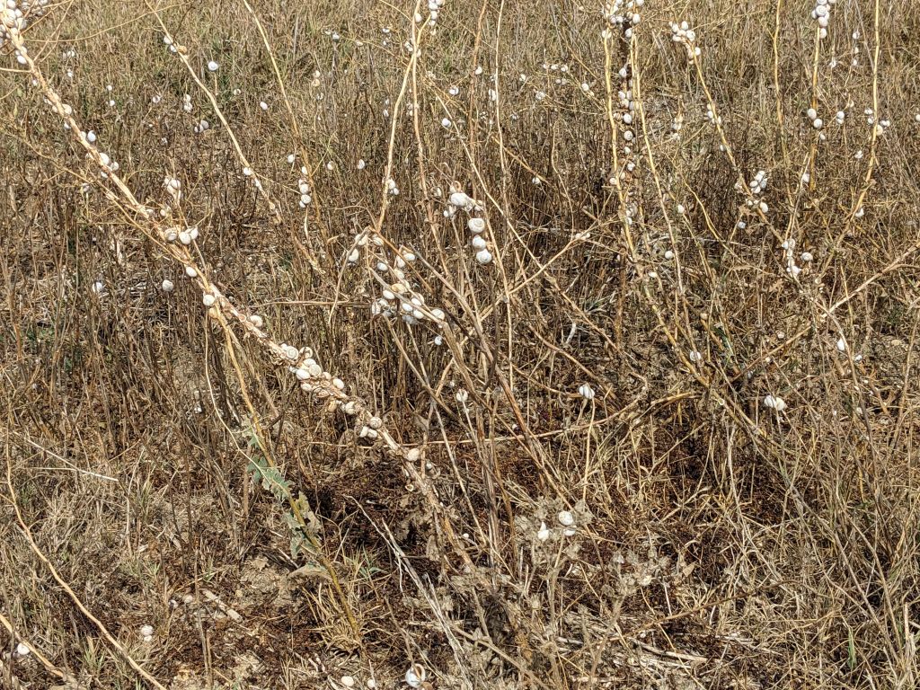
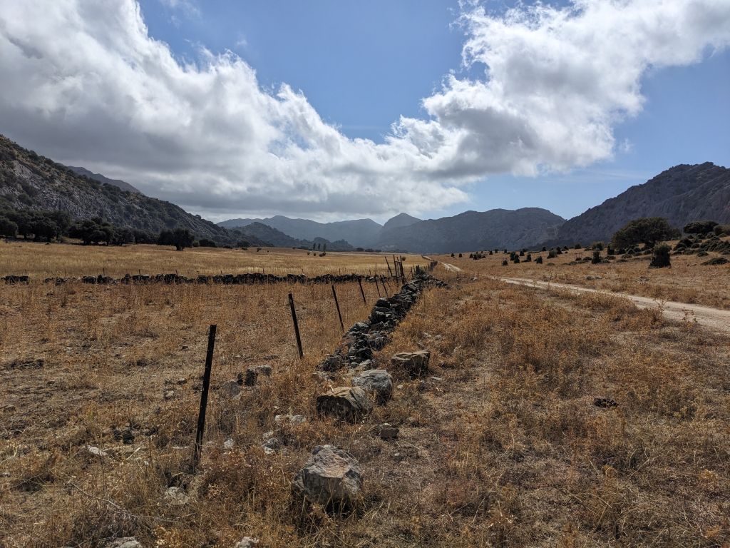
One of the strangest things we saw on the WINGS Spain in Autumn tour last month were many snail encrusted fenceposts and plants along the road. The snails were everywhere in the dry hot areas of southern Spain. Why?

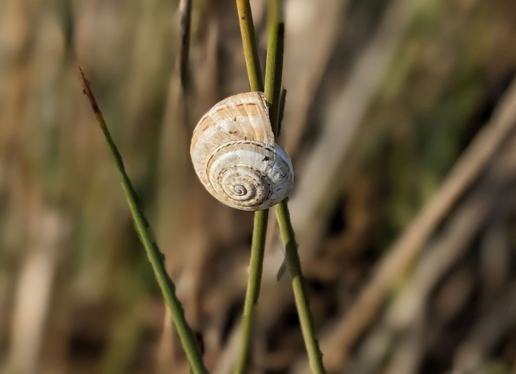
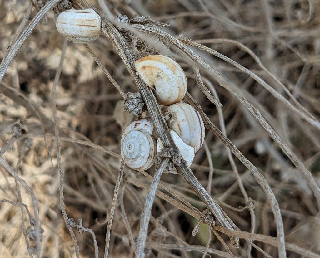
White garden snails or Mediterranean snails (Theba pisana) are an edible land snail native to the Mediterranean. We saw them up on posts and plants because we were visiting during the hot dry season when the snails are aestivating to escape the heat.
Discovering Doñana describes their life cycle:
Our land snails are mainly nocturnal, since at night the presence of predators decreases and the environmental conditions are more conducive to them by significantly increasing the humidity of the environment. During the favorable time of the year, with mild temperatures and adequate environmental humidity, land snails feed in the herbaceous layer closest to the ground, being able to remain active for a good part of the day as well.
But when spring gives way to summer, temperature increases and the humidity decreases, producing a truly hostile environment to them. …. To overcome these unfavorable conditions, which usually begin in June, land snails enter a state of dormancy … [called] aestivation.
— Discovering Doñana: The long nap of the snails
The snails climb up where the temperature is cooler above ground. Then they close their shells with a sticky secretion that adheres to their chosen plant or post, leaving a tiny hole for breathing. The snails go to sleep.
Their high perch keeps them safe from ground predators but not from birds that stop by for a snack. Discovering Doñana shows photos of a kestrel and a lark eating snails on fenceposts.
The snails’ proclivity for climbing and latching on is how they’ve accidentally traveled on international freight. Outside the Mediterranean they become an invasive agricultural pest. In Florida they are considered “the worst potential agricultural pest of the helicid snails.”
When the season changes and the weather becomes cooler and more humid, the snails come down. If you visit southern Spain in the winter you won’t see them.
Read more about white garden snails in their native habitat at Discovering Doñana: The long nap of the snails.


