5 March 2022
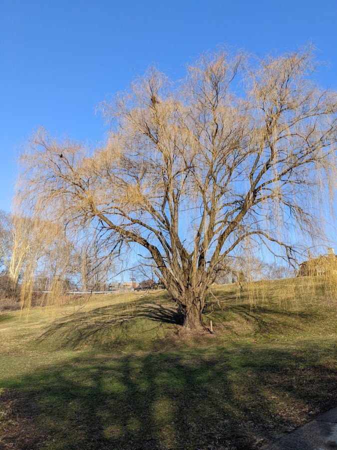
This week in Pittsburgh the weeping willows turned yellow for spring and male red-winged blackbirds came back to the marshes. At Homewood Cemetery the two combined when a red-winged blackbird called from a large willow. He’s the black dot at 9 or 10 o’clock (on the dial) in my photo.
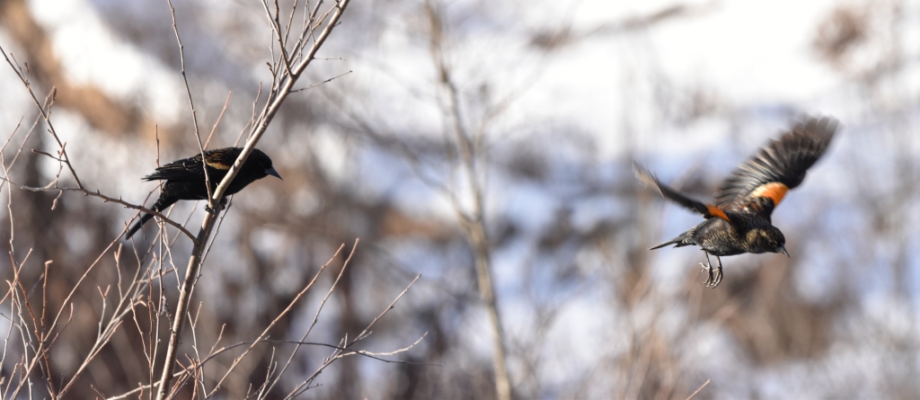
The red-wings didn’t look so spiffy three weeks ago at Frick Park’s feeders, below. Now they are sharply black and red.
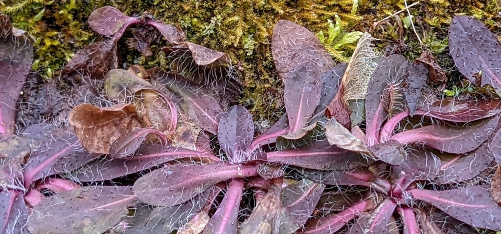
Over at Schenley Park the moss is greening up on the tufa bridges and purple “weed” leaves are looking hairy.
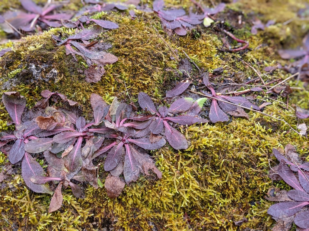
A closer look reveals the hairs may be tiny rootlets. Last summer I knew the name of this “weed” but I don’t remember it now. (Best guess via Stephen Tirone is hawkweed)
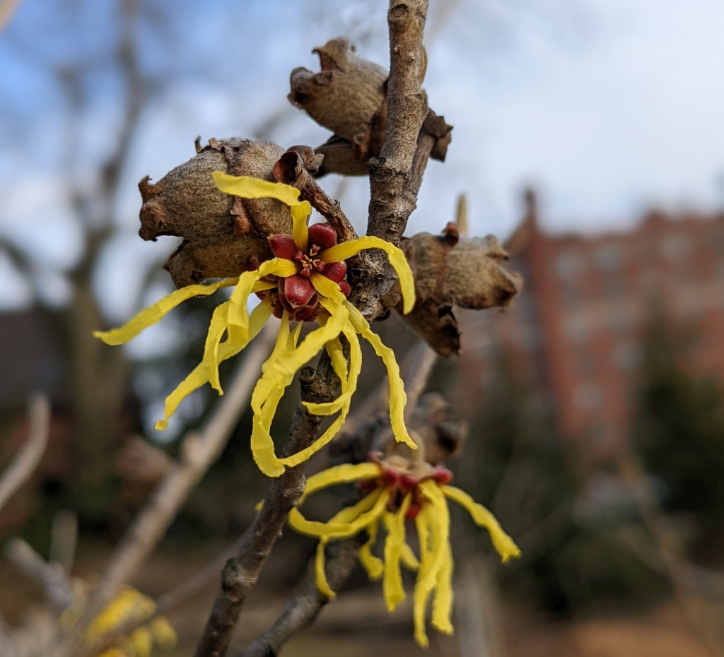
At Carnegie Mellon’s campus cultivated witch-hazel is blooming in yellow and red. Our native witch-hazel is all yellow and blooms in November. These plants have yellow petals and red centers.
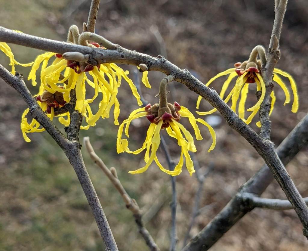
They are probably Chinese or Japanese witch-hazel, both of which bloom in February and March.
I haven’t see an American woodcock (Scolopax minor) yet but Adrian Fenton reported three at North Park on 3 March. The woodcocks are back in New York City, too. This one danced at Bryant Park. Woo hoo!
The early bird gets the worm! So is the case with the now famous Bryant Park Woodcock. I admit that I gasped as I turned the corner and saw it doing its rhythmic walk. #birds #birdwatching #birdcpp #nyc #urbanlegend #mymorningwalk pic.twitter.com/DkxUTUGDEd
— Lori Moloney (@lorifaithnyc) March 3, 2022
Today the temperature will reach 68 degrees F. It’s time to get outdoors!
(photos by Kate St. John & Charity Kheshgi)