16 December 2020
An event of astronomical proportions will happen on Monday 21 December 2020 when two bright planets — Jupiter and Saturn — converge in the night sky, visible just after sunset.
A “conjunction” occurs when two astronomical bodies appear close to each other as seen from Earth. This one is called “Great” because it involves the two largest planets, Jupiter and Saturn.
A Great Conjunction happens every 20 years but this one is rare, as NASA explains:
It’s been nearly 400 years since the planets passed this close to each other in the sky, and nearly 800 years since the alignment of Saturn and Jupiter occurred at night, as it will for 2020, allowing nearly everyone around the world to witness this “great conjunction.”
— NASA: The Great Conjunction of Jupiter and Saturn
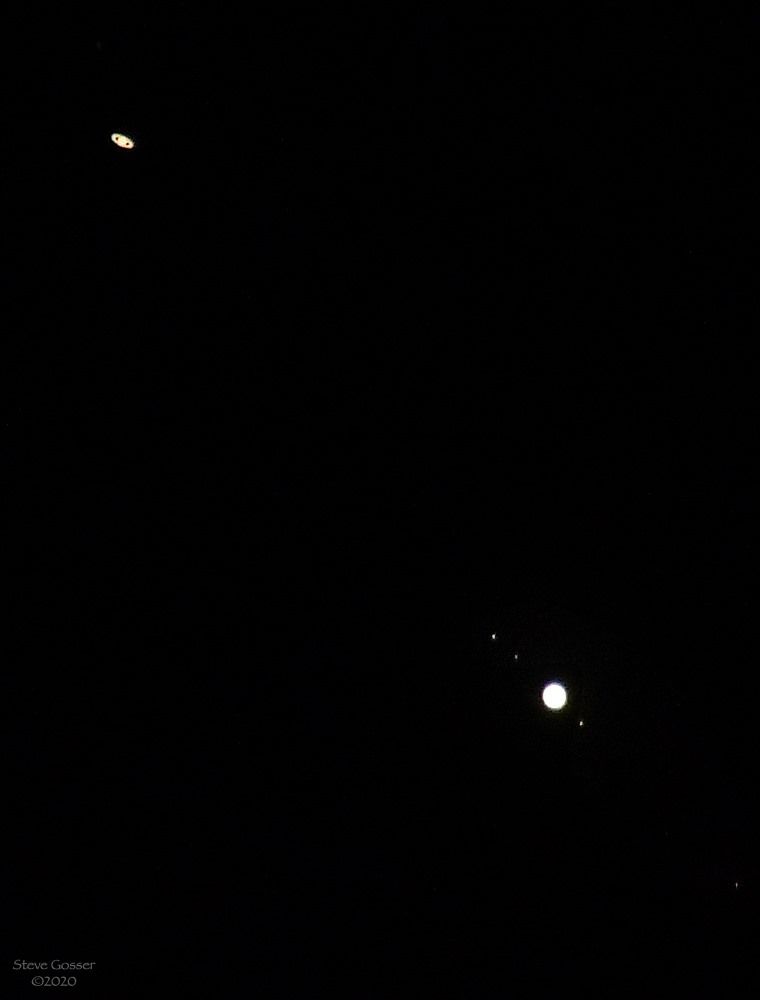
When Steve Gosser took the photo above on Friday 11 December the two planets had not yet converged but you can see Saturn’s rings at top left and Jupiter with four moons at bottom right (the fourth moon is faint in the bottom right corner).
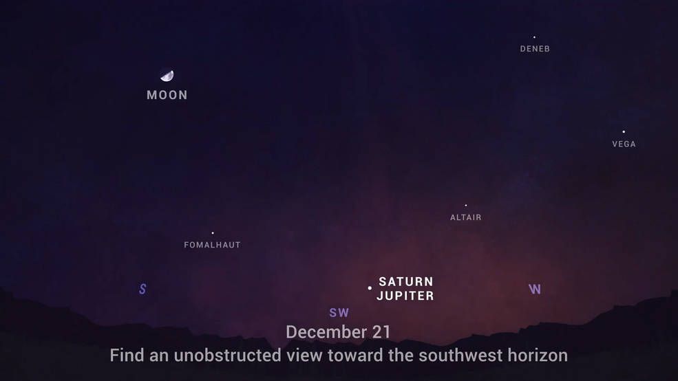
See the Great Conjunction yourself using NASA’s sky map …
.. and check these websites for the cloud forecast at sunset in your area.
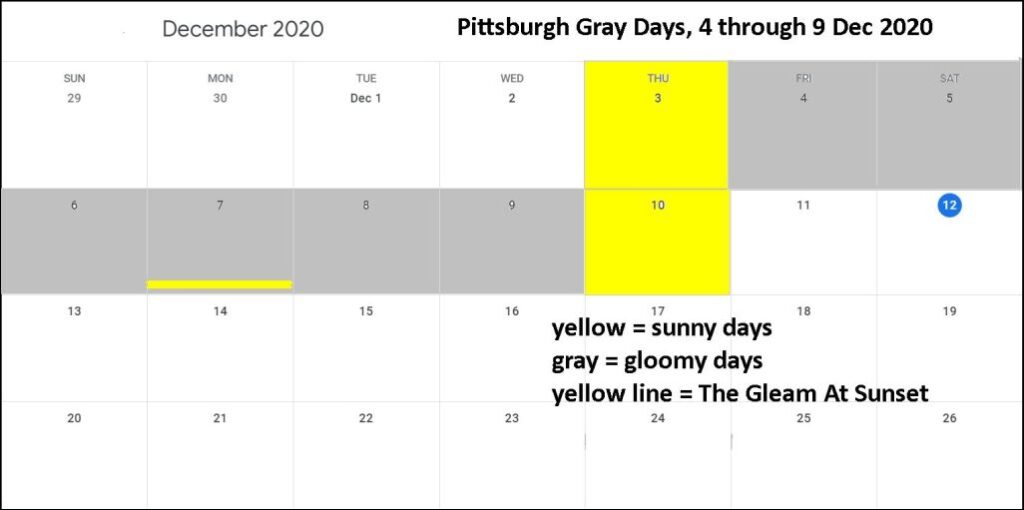
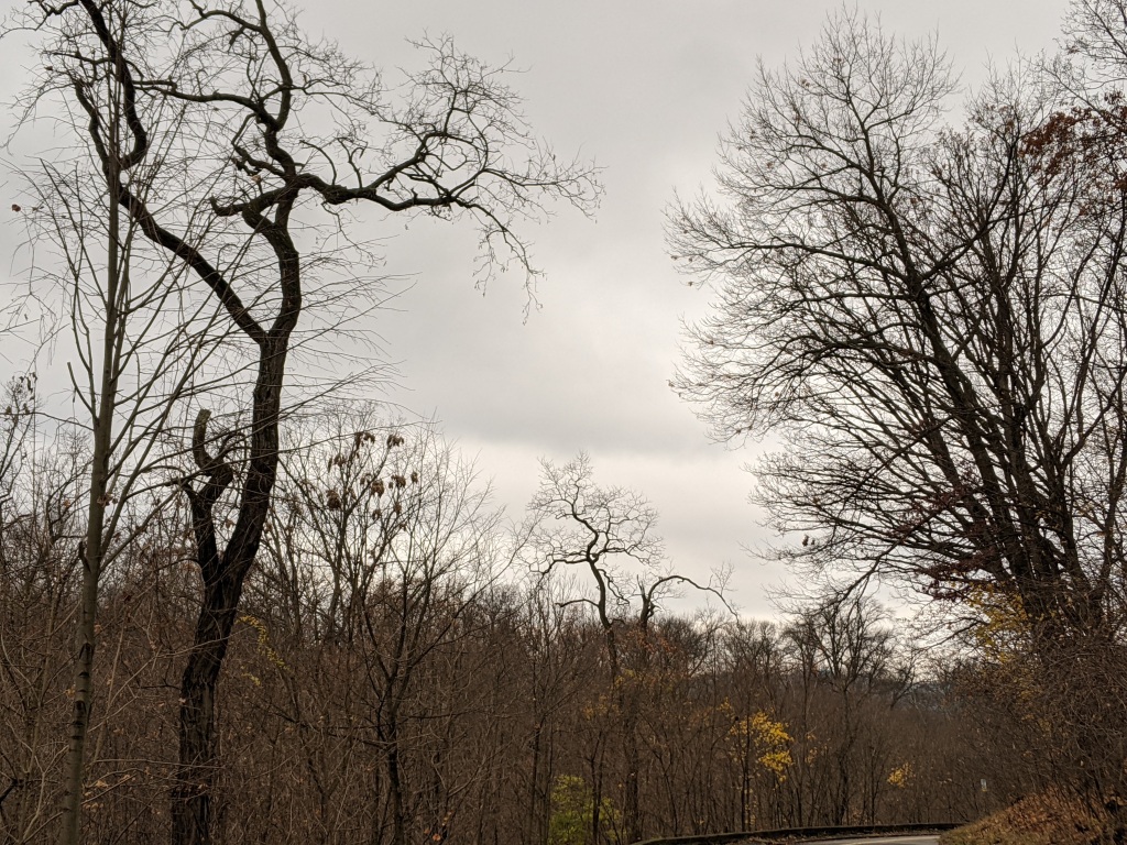
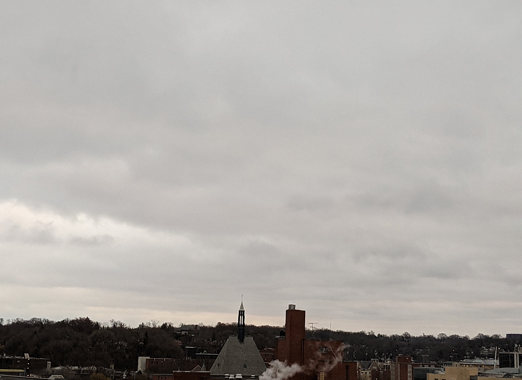
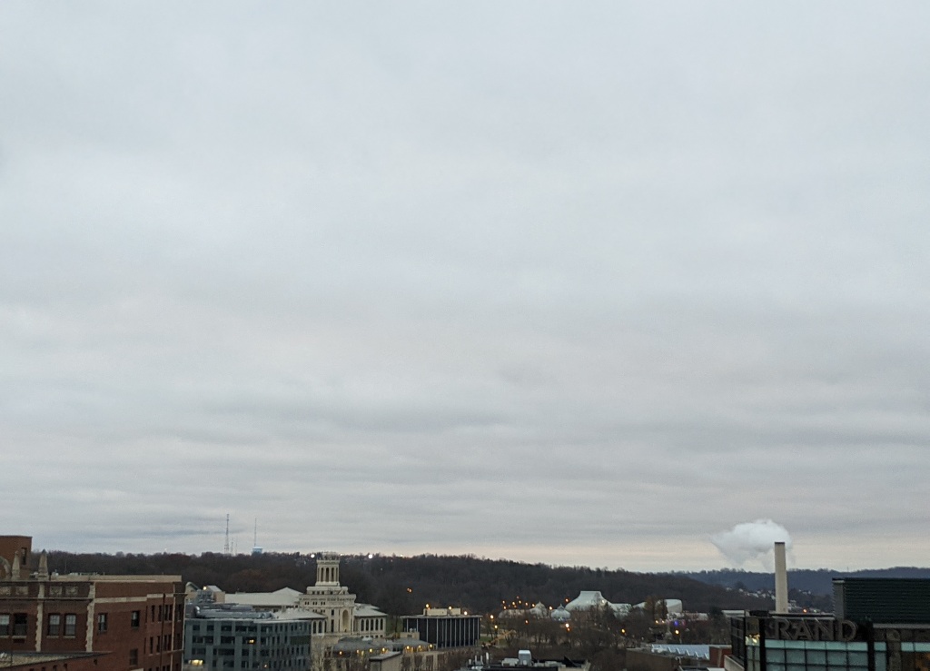
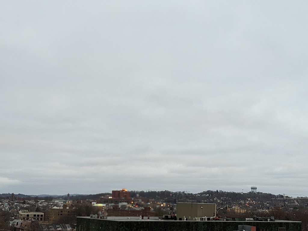
Sunset in Pittsburgh is at 4:57pm on 21 December. Unfortunately our sky will be overcast that evening.
Learn more in this video. Get an astronomy app at this link: https://www.secretsofuniverse.in/top-5-astronomy-apps/.
(photo by Steve Gosser, sky map from NASA/JPL-Caltech)