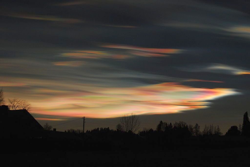
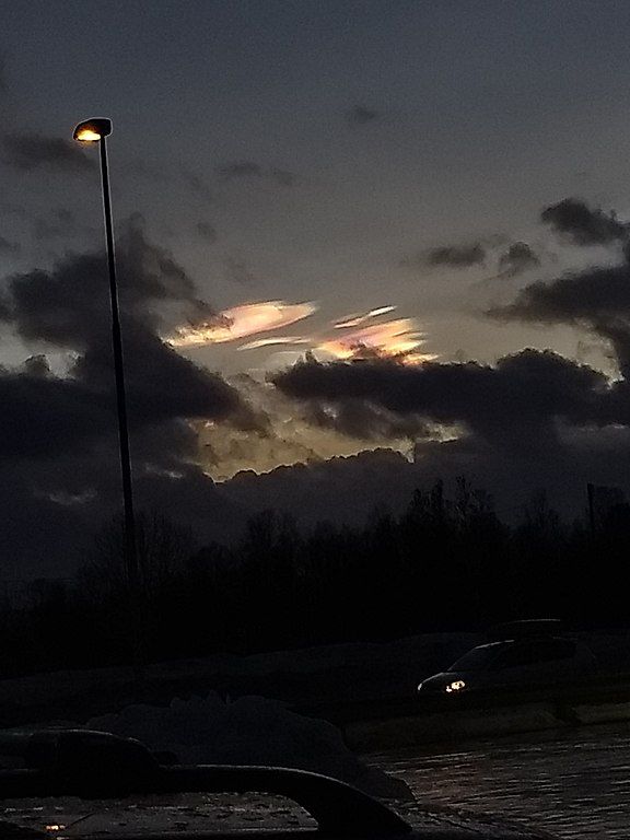
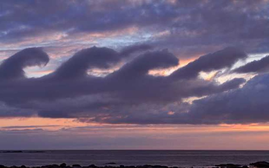
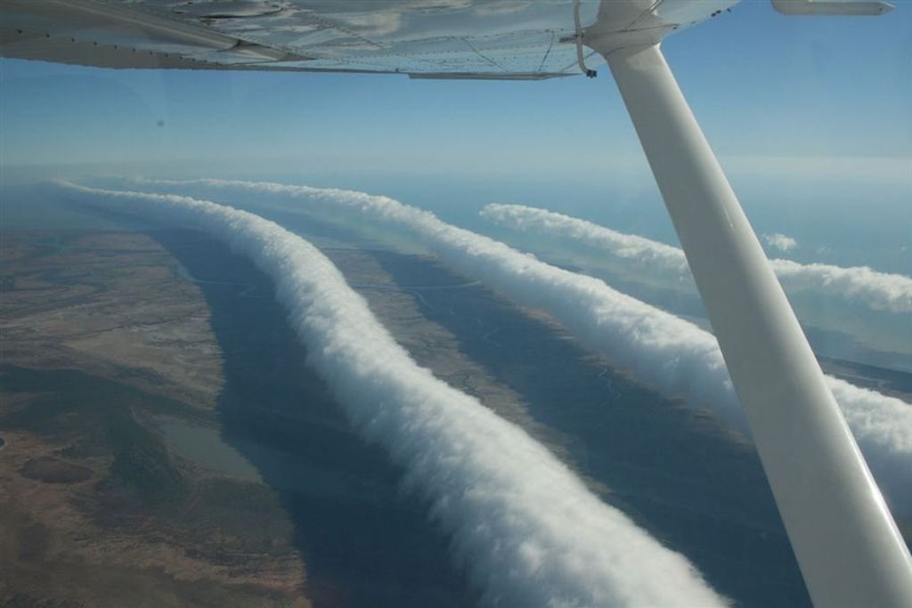
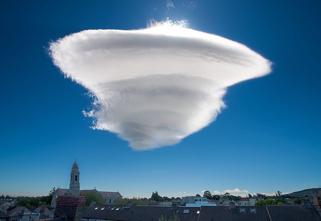
Near the poles in winter there are sometimes pearly-looking clouds glowing high above the Earth.
Polar stratospheric clouds (PSCs), also called nacreous clouds for their pearly appearance, form in the lower stratosphere at 49,000 to 82,000 feet — 1.5 to 2.6 times higher than a jet. They’re a winter phenomenon because they only form in the presence of super low temperatures, minus 108oF and colder.
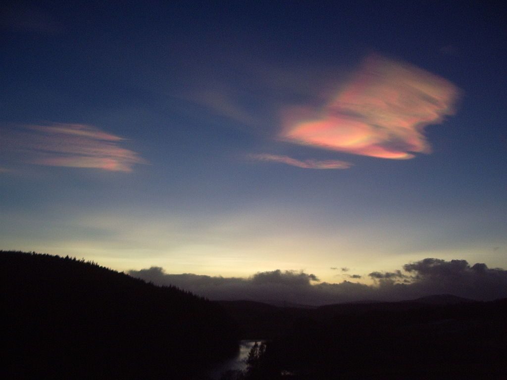
Here you can see that they’re high above our usual clouds.
Nacreous clouds can cause trouble. Those made of water are benign but some are made of nitric acid + water that reacts with ozone in the stratosphere and creates a hole in the ozone layer. Stratospheric ozone protects Earth from the sun’s ultraviolet rays. It’s bad to have a hole in it!
Though we’ll never see these pearly clouds in Pittsburgh, we can appreciate their beauty from afar.
p.s. The irony of ozone: Ground level ozone is bad; it burns plants and our lungs. Stratospheric ozone is good; it protects us from ultraviolet light. Ozone’s value depends on where it is.


